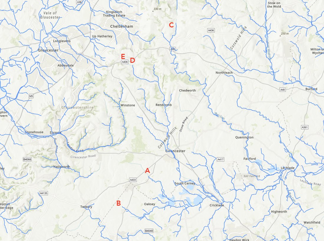
1. A #10tweetadventure – exploring corners of history or landscape, but told in no more than 10 tweets. Today, let’s start with the source of the River Thames. Except… it isn’t. 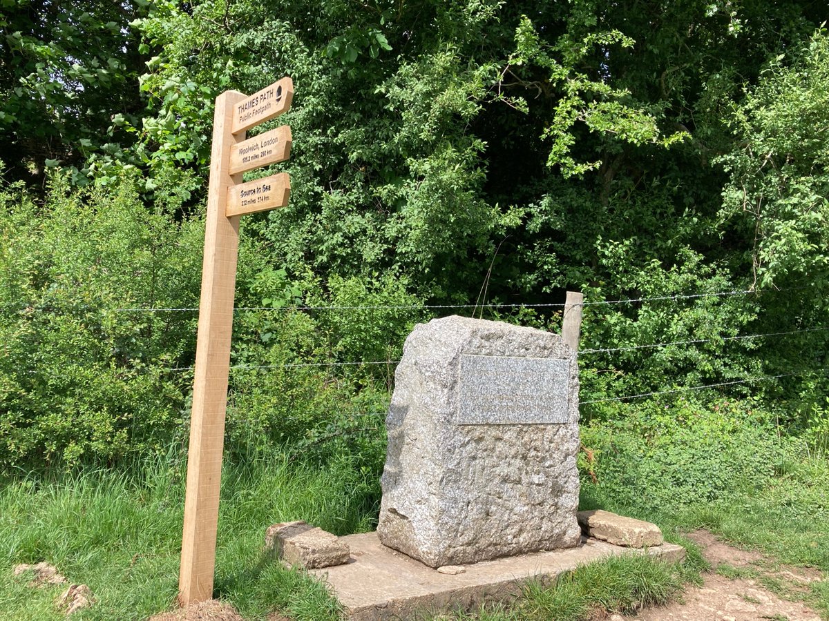
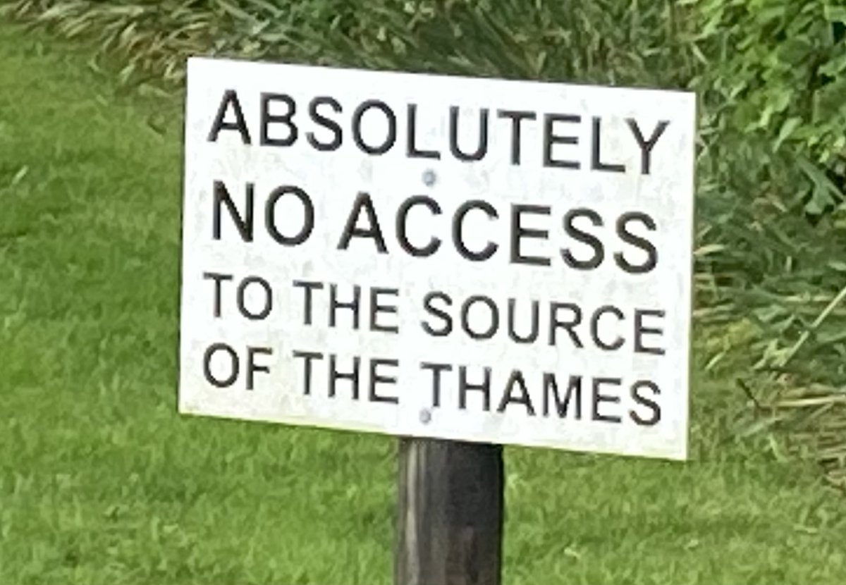
2. For one thing, the site in Trewsbury Meadow has totally dried up – fair enough, it was always seasonal. But half a mile downstream is Lyd Well, in the area marked on old maps as Thames Head. But alas this was bone dry today too. 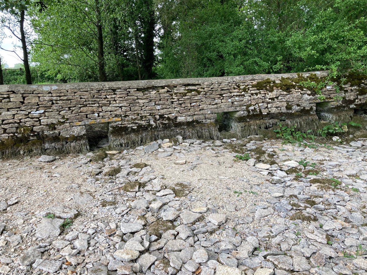
3. The fons et origo, as it were, of historical accounts that this Thames Head is the source go back to John Leland in 1542: “Isis riseth at three myles from Cirencestre, not far from a village cawlled Kemble, within half a mile of the Fosseway, wher the very head of Isis is”. 
4. But hang on: in 1598 John Stow wrote “this famous streame hath her head… about a mile from Tetbury, neare unto the Fosse, (an highway so called of old)”. But Thames Head is 6 miles from Tetbury, even as the crow flies. I’ve found a nearer candidate, only 2 miles from Tetbury! 
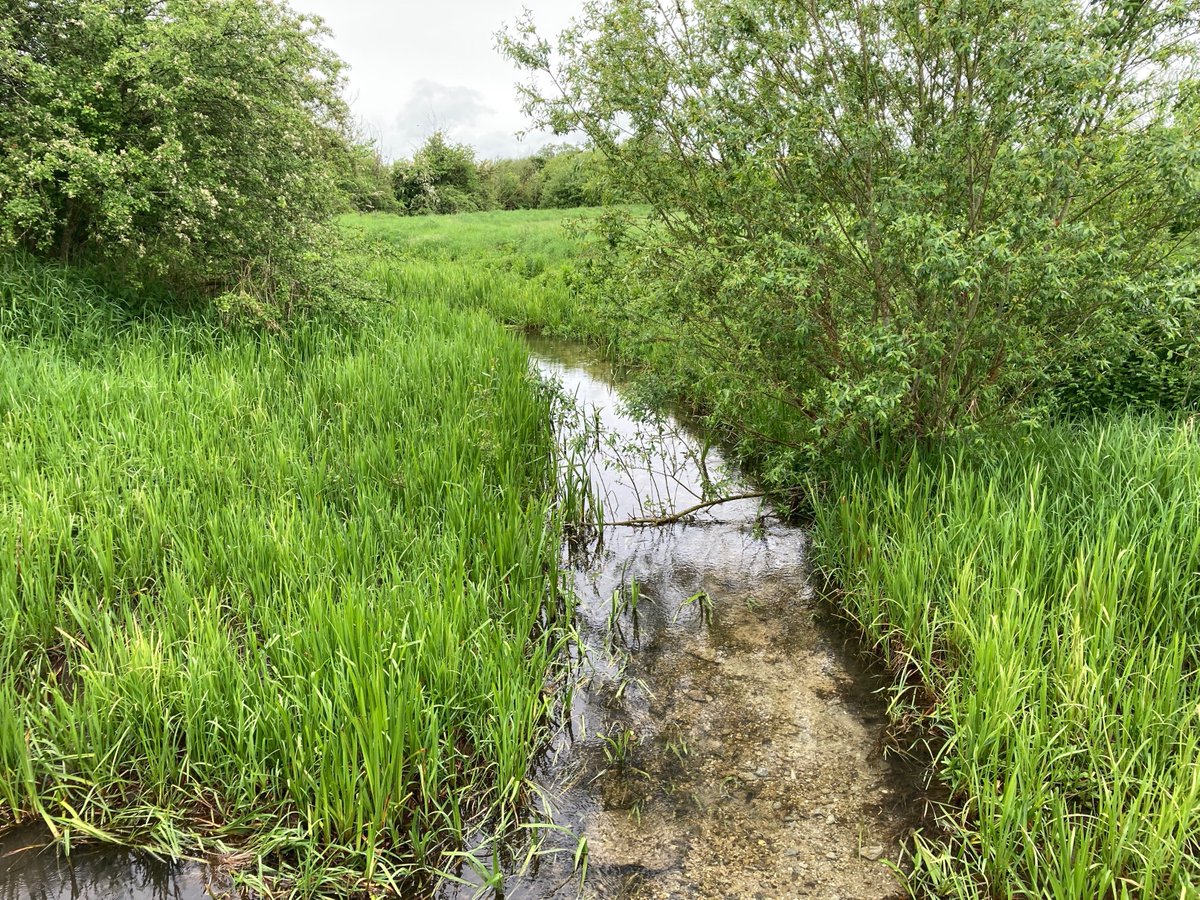
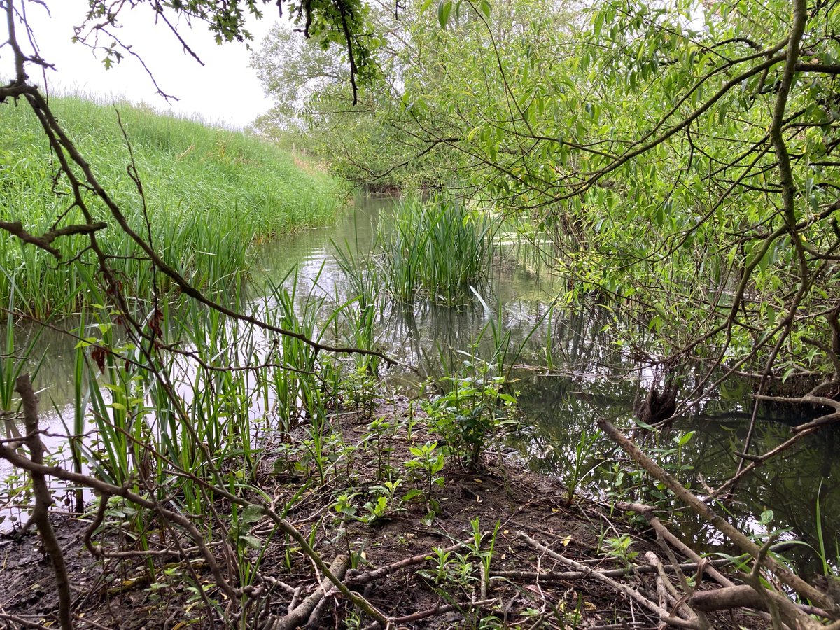
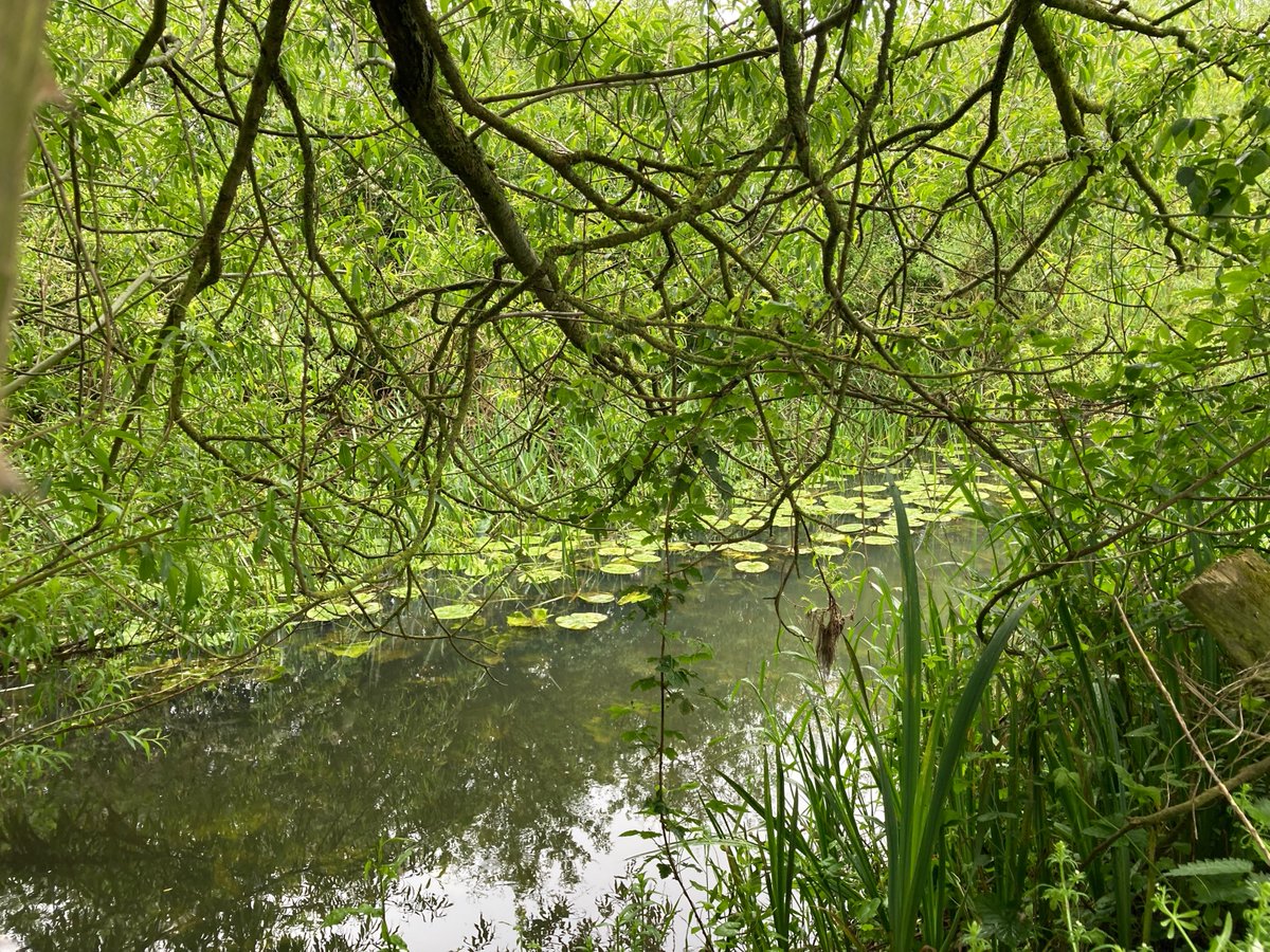
5. This is near the ultimate source of the Swill Brook (also dry alas). Its very brief Wikipedia page quips about it being bigger than the Thames where they meet. Er, hang on! Bigger? Also pictured here are where they meet, the weedy Thames thereafter and the lily-padded Swill. 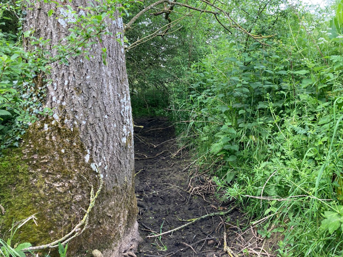
6. But as well as bigger, it’s longer! From Lechlade to Thames Head is 33.7km (I’ve measured it using specialist OS data). From Lechlade to the Swill’s source is… 39.5km! So apologies to Old Father Thames in Ashton Keynes here, but you’re in the wrong place, mate. But wait… 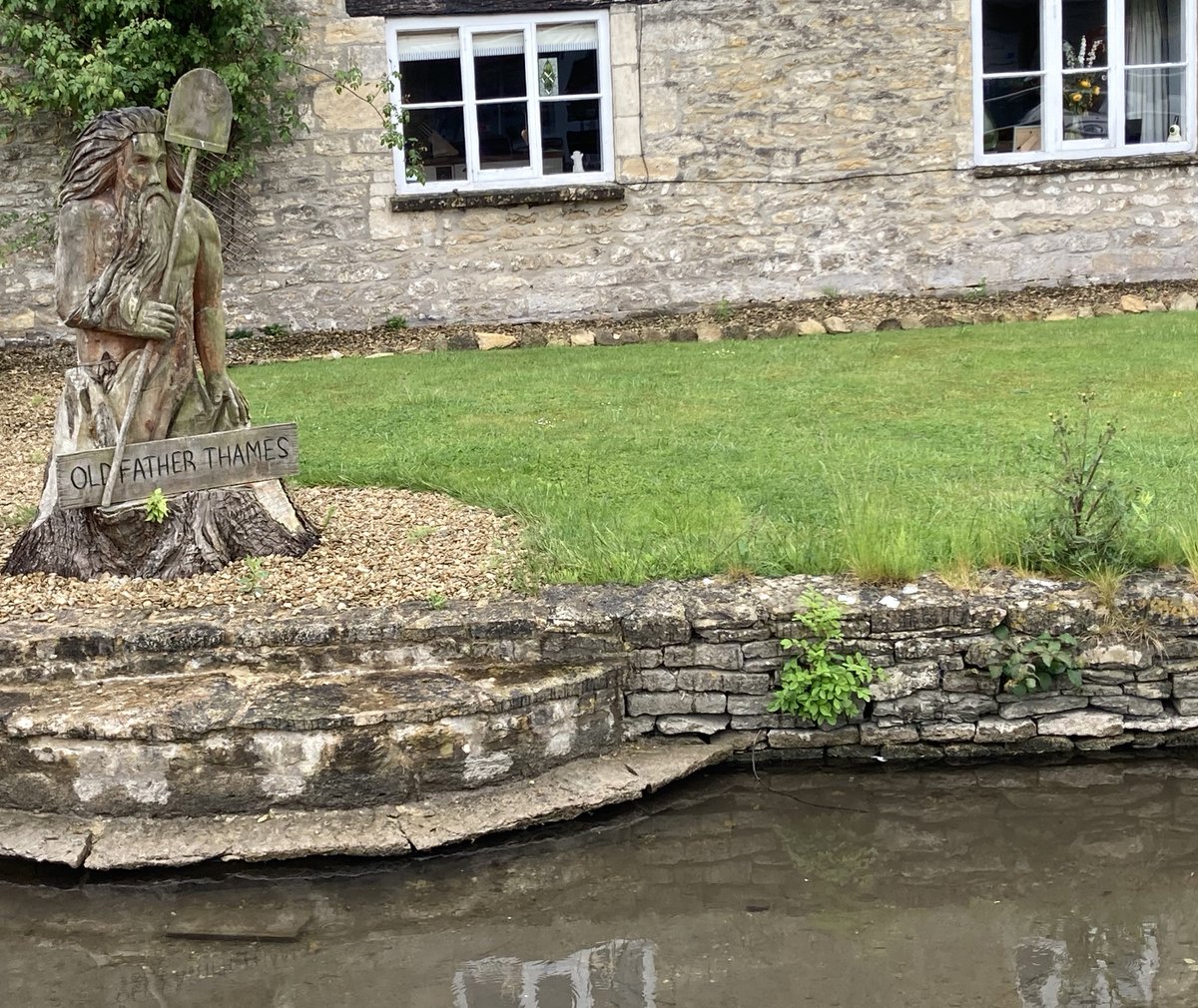
7. There’s even a further possibility mentioned in @PaulWhitewick‘s excellent recent thread and video about some of this, referring to a leak from the Thames and Severn Canal, further up than Thames Head.
8. As Paul mentions, it’s an open secret that the *real* source is Seven Springs, known as the mouth of the tributary River Churn. Here it is, bubbling happily, a whopping 52.7km from Lechlade & making the Thames waters longer than the Severn. But… there’s a further source yet!
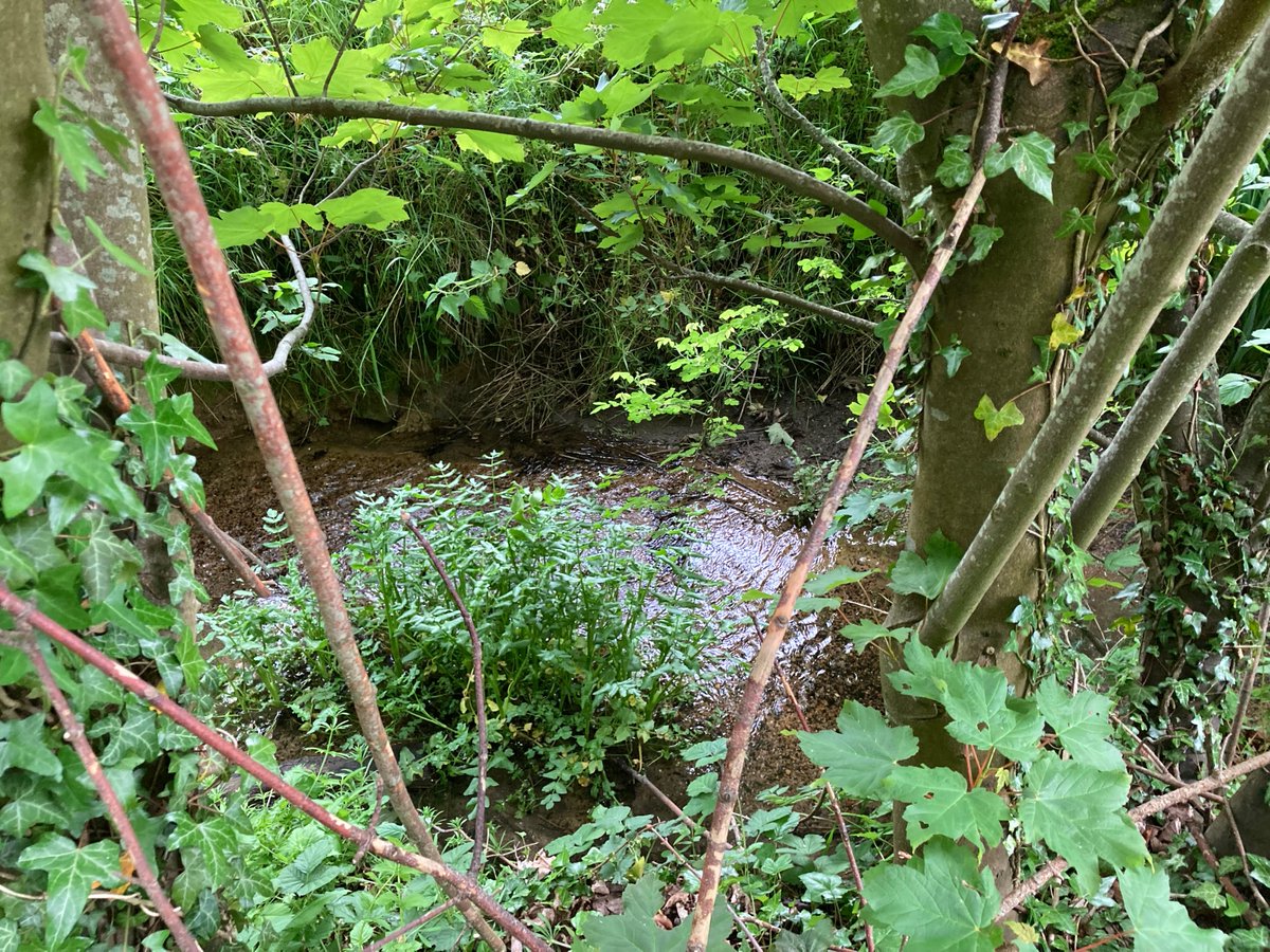
9. A bit W of there is this pond at Ullenwood’s college & a nearby stream – bubbling happily, a whole 54.8km from Lechlade, and feeding into the ‘Churn’. Thames Head is so utterly geographically – and even historically – wrong! Ah well: it won the gong, so the ‘source’ it is. 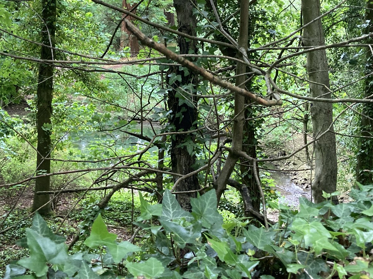
10. Even the source of the tributary Coln is 49.km from Lechlade. Thames Head isn’t even technically in the top 10 distance-wise! This map (OS Open Rivers data) shows A: Thames Head B: Swill Brook C: River Coln D: Churn (Seven Springs) E: Churn (Ullenwood). Bye!