The Haunted Men (supporting information)

This page provides supporting information for my article ‘The Haunted Men’ in Undefined Boundary: The Journal of Psychick Albion 4(1), 2025.

New information

Since that piece was published, I was kindly contacted by Rita Swanberg of Hindman Auctions in Chicago, who confirmed that the 2005 sale of an illustration for Dickens’s Bleak House was in fact a 1925 work by Frank Dadd, not (as seemed unlikely) Richard as an auction aggregator website had erroneously suggested. Frank Dadd (1851–1929) was Richard Dadd’s nephew and known as an artist and illustrator in his own right.

Bibliography

Alexander, D (1992) ‘In defense of John Dickens’. Dickens Quarterly 9(1).

Allderidge, P (1974) The Late Richard Dadd, 1817–1886. The Tate Gallery.

British Newspaper Archive, URL: https://www.britishnewspaperarchive.co.uk

Bull, A. (2021) Walking Charles Dickens’ Kent. Sigma Press.

Chapman, Andrew (2025) ‘Key Street: a personal journey of roots, routes and Jutes’. URL: https://andrewchapman.info/key-street/

Charles Dickens Letters Project, The, URL: https://dickensletters.com

Dickens Journals Online, URL: https://www.djo.org.uk

Forster, J (1872) The Life of Charles Dickens. Chapman & Hall.

Frith, WP (1888) Further Reminiscences. Richard Bentley & Son.

Greysmith, D (1973) Richard Dadd. Macmillan.

Hall, SC (1843, attrib.) ‘The late Richard Dadd’. The Art Union 5(58).

Hall, SC (1843, attrib.) ‘The latest tragedy’. Pictorial Times.

Hall, SC (1883) Retrospect of a Long Life: from 1815 to 1883. Richard Bentley & Son.

Haviland Cottage (nd) ‘Charles Dickens literary walks: mapping his stays at Bonchurch and Ventnor’. URL: https://www.havilandcottage.com/dickens

Haydon, KR (2007) ‘George Henry Haydon (1822–1891): an Anglo-Australian life’. Unpublished thesis.

House, M, Storey, G et al (1965–2002, eds) The Pilgrim Edition of the Letters of Charles Dickens, 12 vols. OUP.

Hughes, WR (1891) A Week’s Tramp in Dickens-Land. Chapman & Hall.

Imray, J (1898) A Reminiscence of Sixty Years Ago. Art Journal.

Kerr, M (2018) ‘Does the spirit of Charles Dickens live on in his furniture?’. Apollo Magazine. URL: https://apollo-magazine.com/charles-dickens-william-iv-study-table-export-bar/

Krueger, L (2017) ‘Mad Richard: The ancestral dog’. URL: https://lesleykrueger.com/mad-richard-the-ancestral-dog/

Krueger, L (2017) Mad Richard. ECW Press.

Ley, JWT (1919) The Dickens Circle. EP Dutton & Co.

McKeen, DB (1964) ‘”A Memory of Honour”: A study of the House of Cobham of Kent in the Reign of Elizabeth I’. Unpublished thesis.

Moore, A & O, Neill, K (2021) The League of Extraordinary Gentlemen: The Tempest. Top Shelf Productions.

Munn, G (2020) ‘Richard Dadd (1817–1886) and Edmund Yates (1831–1894)’. The British Art Journal, 21(2).

National Library of Scotland maps, URL: https://maps.nls.uk

Page, N (1988) A Dickens Chronology. Macmillan.

Rossetti, WM (1906) Some Reminiscences of William Michael Rossetti. Charles Scribner’s Sons.

Seabrook, D (2002) All the Devils Are Here. Granta Books.

TheGenealogist, URL: https://www.thegenealogist.co.uk

Thurley, G (1976) The Dickens Myth. University of Queensland Press.

Tromans, N (2011) Richard Dadd: The Artist and the Asylum. Tate Publishing.

Winpenny, D (2009) Up to a Point: In Search of Pyramids in Britain and Ireland. William Sessions.

Wood, W (1851) Remarks on the Plea of Insanity, and on the Management of Criminal Lunatics. Longmans.

Yates, E (1885) Edmund Yates: His Recollections and Experiences. Richard Bentley & Son.

Key Street: a personal journey of roots, routes and Jutes

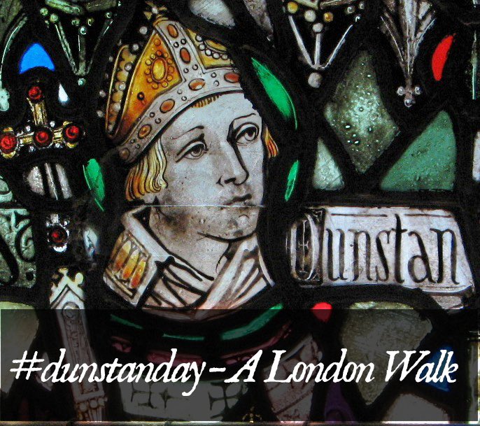
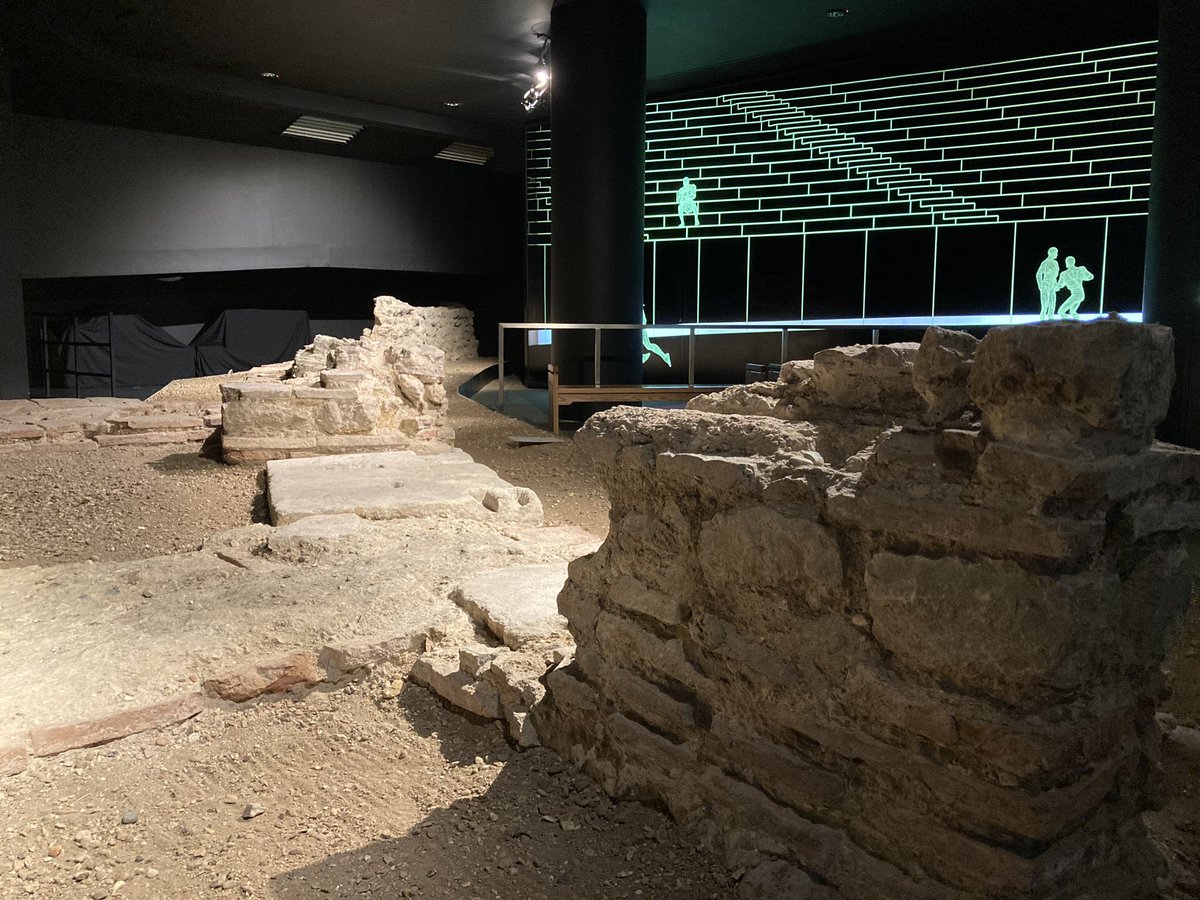
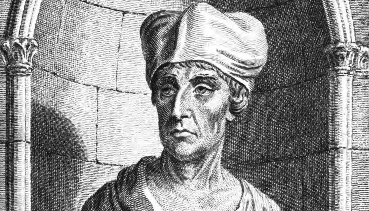
This is a longer account of a personal pilgrimage from London to Canterbury in August/September 2024, which I gave a version of as a talk at the 2024 Fourth World Congress of Psychogeography (a video is here). I have also written connected articles about the death of Thomas Becket and the last pilgrim to visit his shrine before it was destroyed in the Reformation.

Where do you think of as ‘home’? Where are you ‘from’? Where do you feel you belong, or should belong?

I’ve often wondered about these things – I’ve lived in more than 30 houses, across Wales, Scotland and eight counties of England. I’ve spent the last 20 years in Oxfordshire, raising a family and putting down new roots, but have no old roots there at all. Where I do have roots in East Kent. I went to secondary school here in Canterbury and lived in the city for some of that time. My parents between them had roots in Ramsgate, Sandwich, Folkestone, Sittingbourne… Is this where I’m from, then?

A year or so ago I started having nostalgic pangs for Canterbury, having been here only rarely in the last 30 years, and had decided to make a personal pilgrimage from London – I know I’m not exactly the first person to think of doing this!

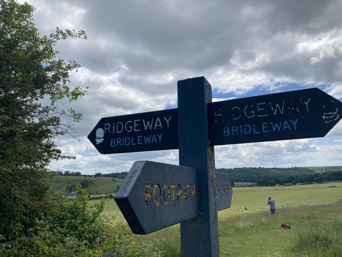
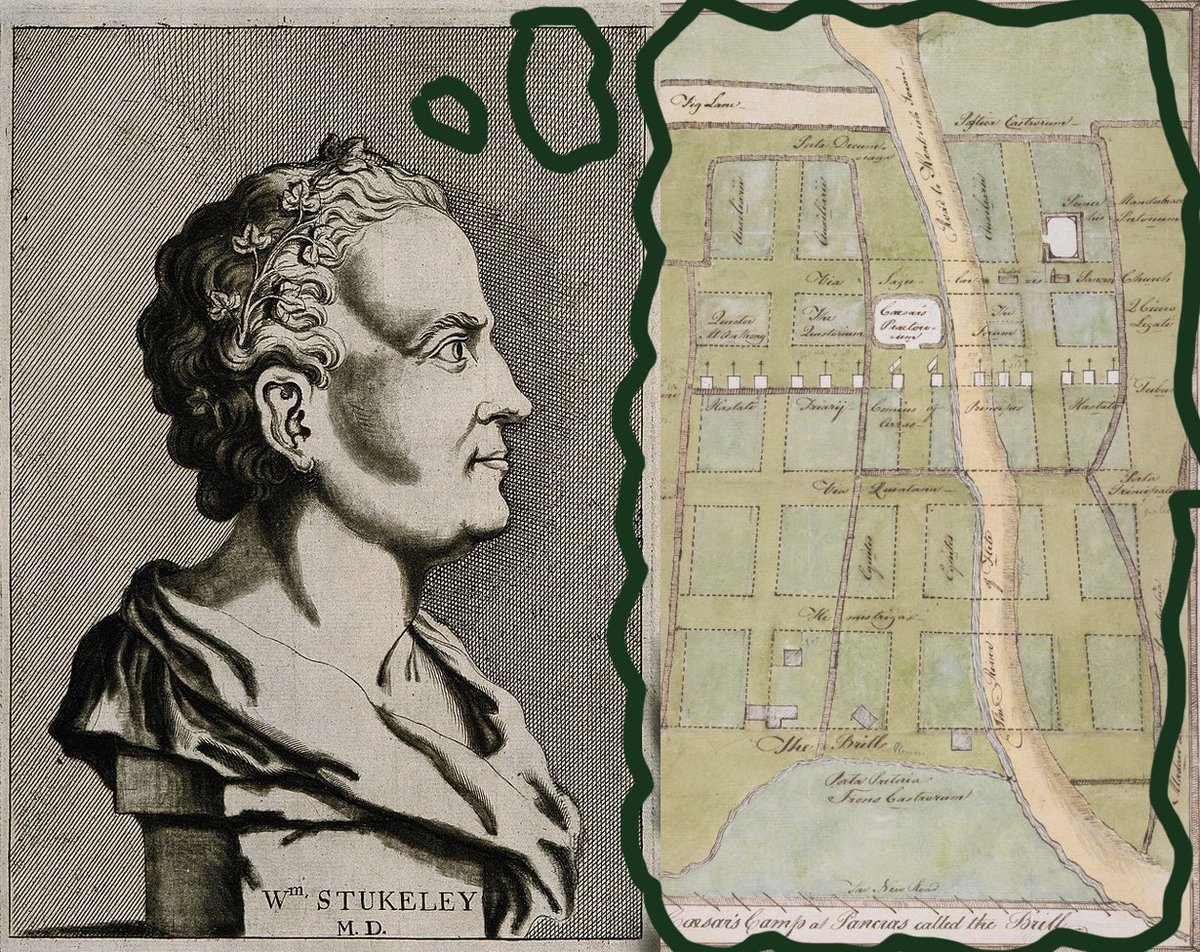
But which route? The obvious, bucolic one would be the one known as the Pilgrim’s Way. This goes from Winchester to Canterbury, but there’s a spur from London known as the Becket Way. However, this is basically a Victorian invention – with a neat twist of nominative determinism, in 1855 a man named Albert Way proposed the route, which was then picked up slightly too eagerly by the Ordnance Survey and then popularised by writers such as Hilaire Belloc. There’s scant evidence that real Canterbury pilgrims used it – though it certainly follows prehistoric ridgeways such as the Harroway in Hampshire and over the North Downs.

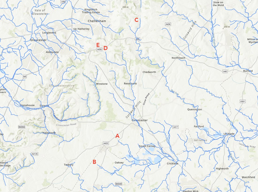
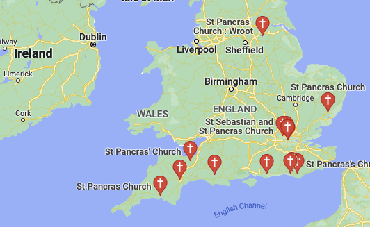
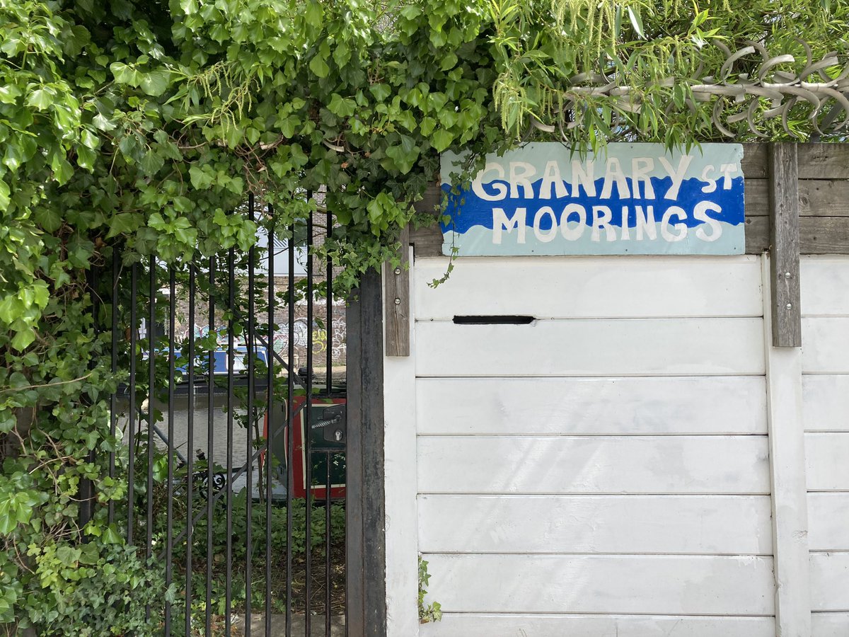
Chaucer gives us better clues to where pilgrims from London actually went. He only mentions seven places between his starting point in Southwark and Canterbury but here they are on a map: the route is very obviously along the Roman road we call Watling Street. That too is a misnomer, but we’ll come to that. In 1360, only a couple of decades before Chaucer’s pilgrims, King John the Good of France took this route to Canterbury and it is well attested. On my map here in blue, sacred springs, wells and waterways once dedicated to St Thomas; and in purple, churches and chapels likewise.

In his book Watling Street, John Higgs says, “Watling Street is a road of dreams, imagination and stories, especially on this stretch from London to Canterbury”. So I went in search of those stories – those I found are completely different from the ones in his book, and I’m sure there are many more to tell.

In the end I did this as five walks, not on consecutive days but all in the last month, the very last leg being the day of my talk. This was a chance to explore the history of the route and places along it, as well as some personal places in search of a feeling of home. But following the A2 almost all the way made for something of a grim challenge!

1. Southwark to Greenwich

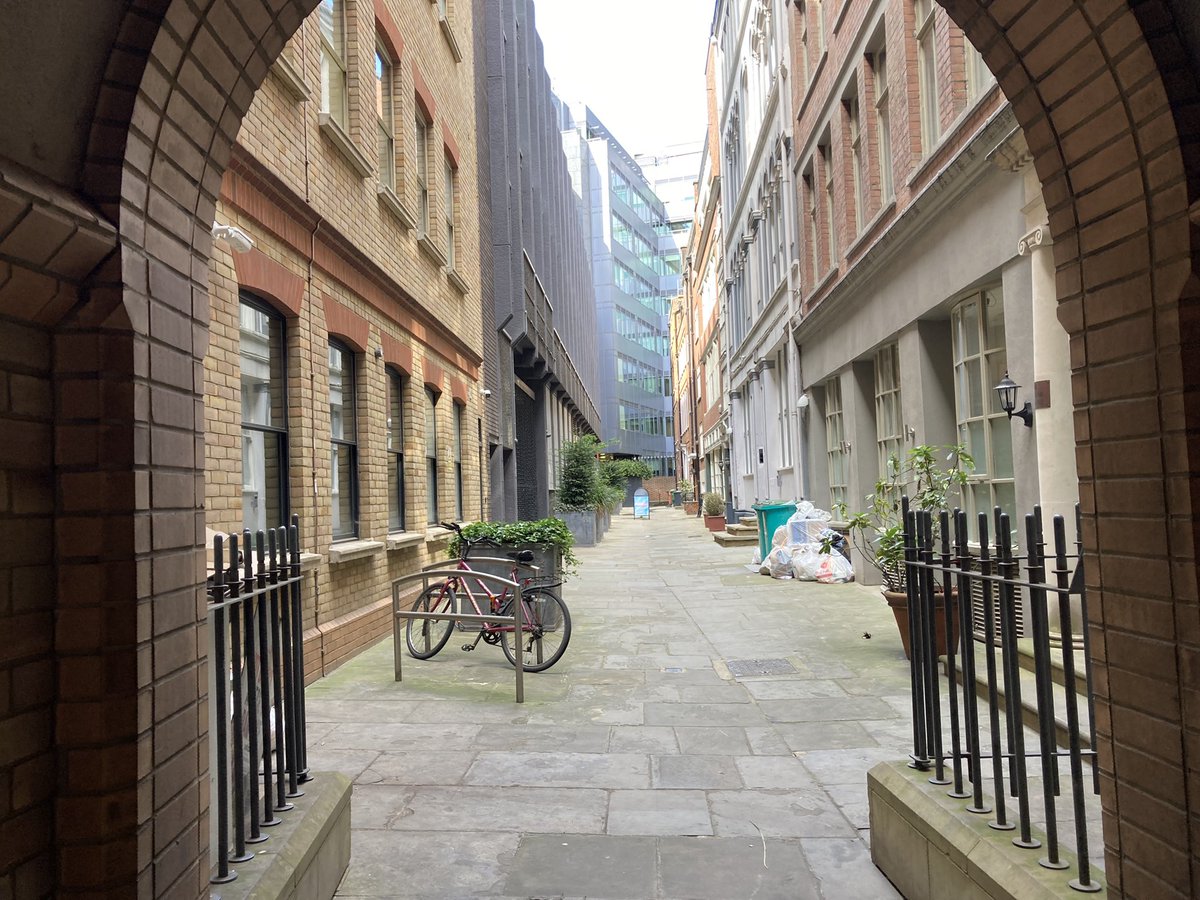
This was my shortest walk, because both of my children came with me on a very hot day, wooed by the promise of the Lego store on the way back. Like any London walk it is dense with history.

It starts in Southwark. Thomas Street at the back of London Bridge marks the site of the original hospital founded in martyred Becket’s honour. Off Borough High Street is the site of the Tabard Inn, where Chaucer’s pilgrims began. The inn has long gone, although the neighbouring George Inn at least gives a flavour of the place in later Elizabethan times. I used to drink here and elsewhere nearby when I lived in London.

Down the street is the site of the old Marshalsea Prison, which was ransacked by Wat Tyler and friends in the Peasants’ Revolt of 1381 (a theme which will return). Further down it is a wall which is the only surviving vestige of the later iteration of the Marshalsea, where Dickens’s father was imprisoned in 1824.

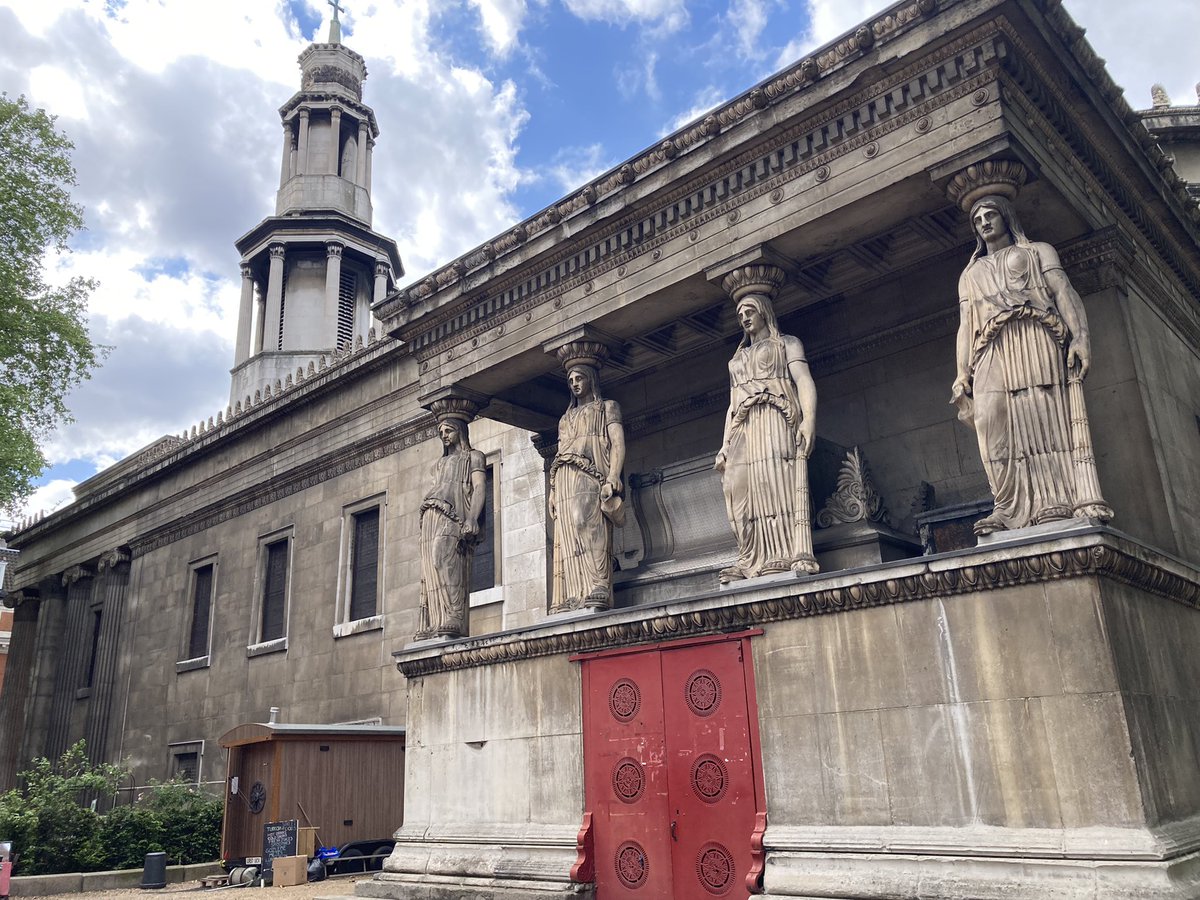
The church of St George the Martyr at the bottom of the street marks where Roman Watling Street and Stane Street met. It’s where Henry V was welcomed in triumph by the aldermen of London after his victory at Agincourt, having travelled along Watling Street from the Kent coast.

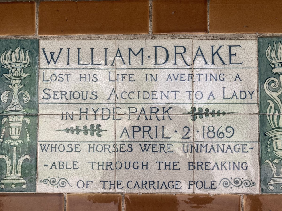
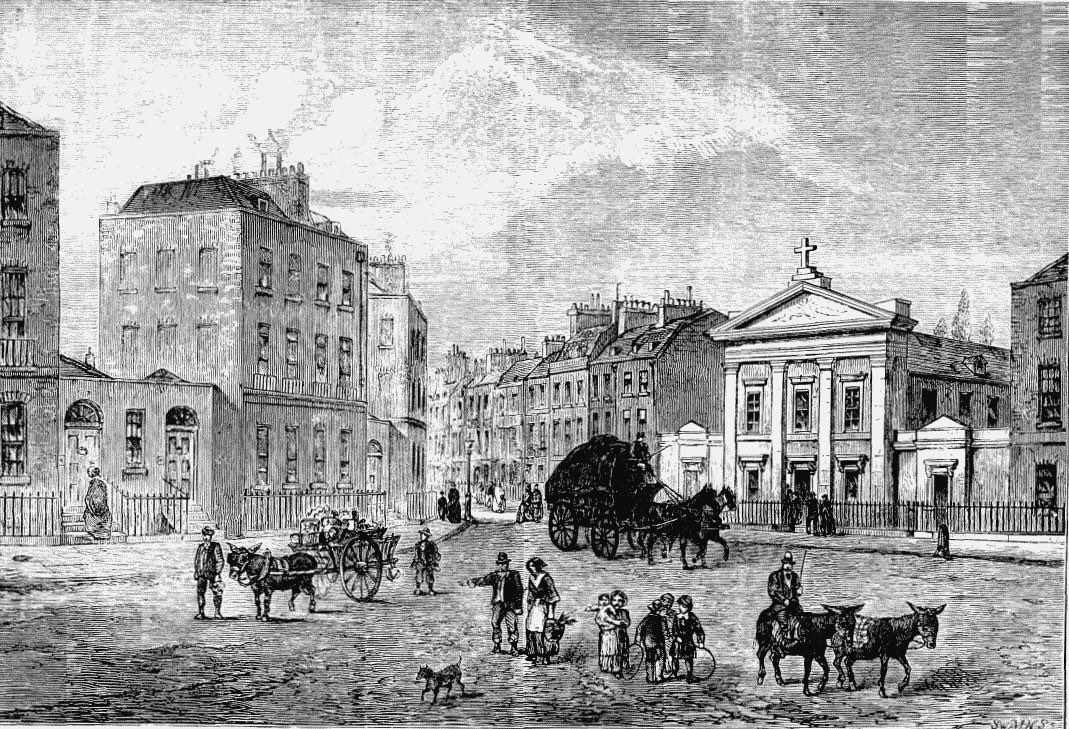
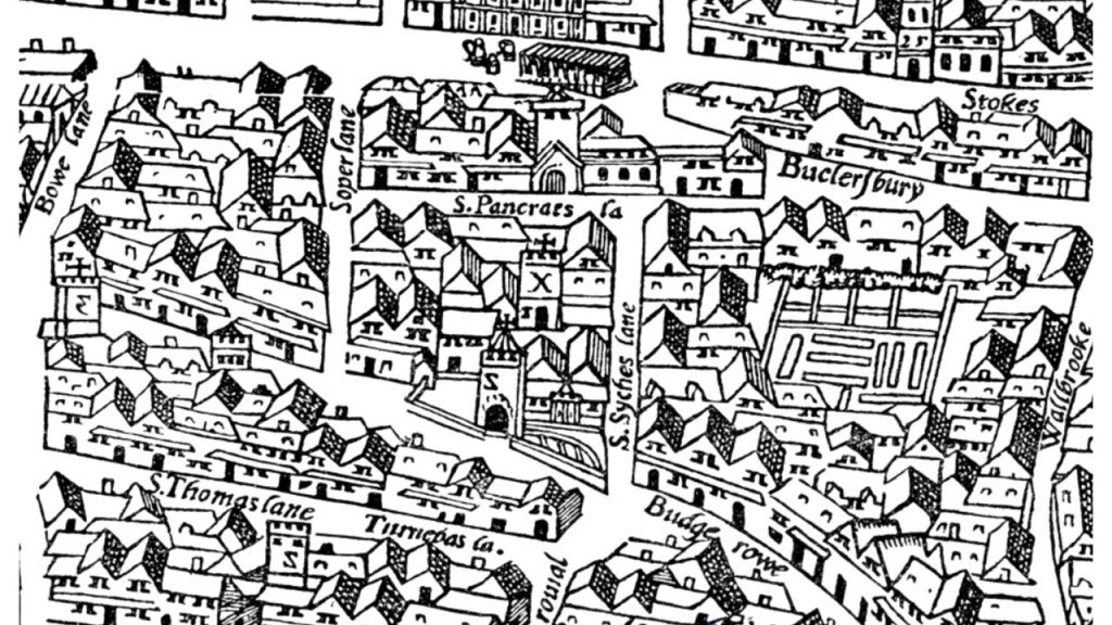
Down Tabard Street, along the ancient Roman alignment, and into Old Kent Road. A little way along is the first place Chaucer mentions on the route: the Watering of St Thomas. This is a place of echoes and ghosts. It is where the horses were given water from the Earl’s Sluice, now a ‘lost London river’ – you can still see the dip in the road, and the lake in nearby Burgess Park is fed by the same source. Henry V was welcomed by London’s clergy here. After the reformation (when all thought of pilgrimage was banished), religious dissenters were hanged here. From the 19th century, perhaps earlier, the Thomas à Becket pub stood here, and was said to be haunted. During Jack the Ripper’s rampage, a mysterious bag full of knives and scissors was abandoned here. In the 1950s, boxing champion Henry Cooper trained here for many years, visited by Muhammed Ali and Darth Vader David Prowse. A few years later, David Bowie rehearsed Ziggy Stardust here. After numerous incarnations, the pub has gone – but look, here the gaunt face of Thomas Becket hovers still.

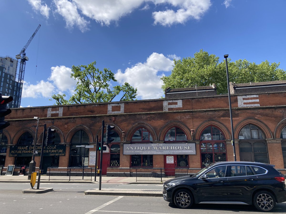
Further along, here’s Polish artist Adam Kossowski’s 1965 History of the Old Kent Road, left gathering dirt on the wall of the old North Peckham Civic Centre, now the Everlasting Arms church. It hints at many of the stories of the road, some of which we’ll return to. Remains of Watling Street have been dug up in gardens nearby.

Onward down through New Cross and Deptford – the ‘deep ford’ where the Romans crossed the Ravensbourne. In 1895, travel writer Charles Harper snarked that ‘The Deptford of today is no place for the pilgrim’ – but I disagree, as we pass the ghosts of Christopher Marlowe and where Peter the Great trashed John Evelyn’s garden.

And so this first walk ends at a roundabout in Greenwich Park, with General Wolfe and St Anne’s Limehouse aligned one way, and Blackheath church the other. In a short film about this bit of Watling Street made by John Rogers, Iain Sinclair said, ‘The start of my whole writing-about-London project was here… it’s one of the most significant spots in the whole city [with] incredible alignments which represent lines of desire and lines of force’. You have to ‘feel it in the soles of your feet’, he says. Something you don’t want to feel in the soles of your feet is Lego, but that’s what took us away from the ancient path.

2. Greenwich to Dartford

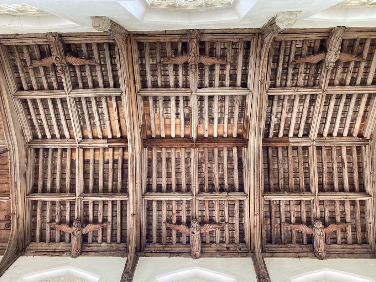
Greenwich Park has one of the country’s most important Anglo-Saxon barrow cemeteries – pictured here in 1844 but still visible. Roman Watling Street slices across the flower garden before heading over the edge of Blackheath, where rebel commoners Wat Tyler and Jack Cade assembled their forces in 1381 and 1450, and on up Shooter’s Hill, haunt of highwaymen.

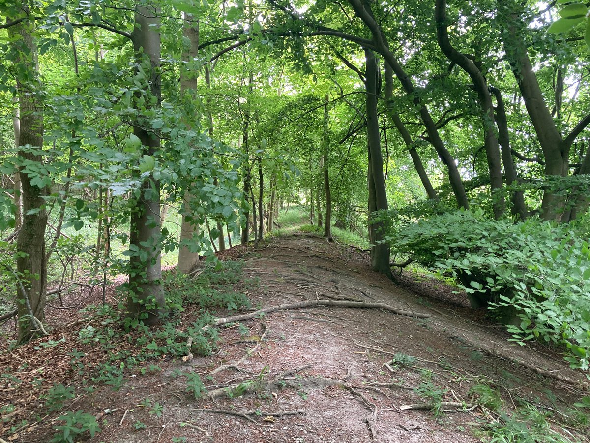
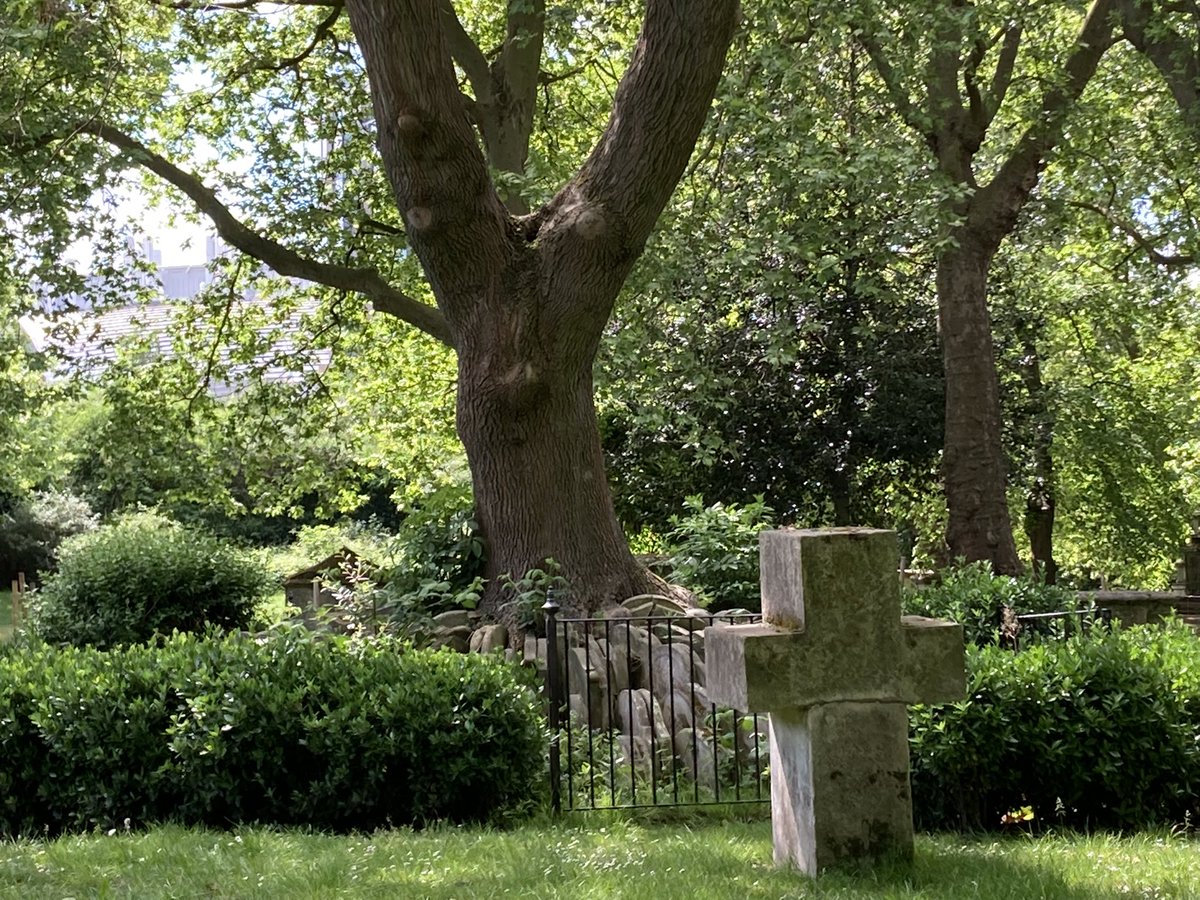
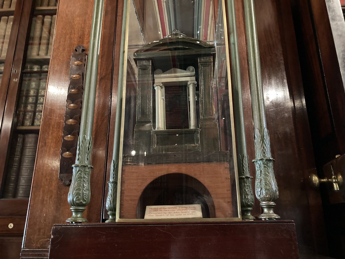
But here I took a detour, now just with my 15-year-old son, down through ancient woods into New Eltham. This is the house where I lived for a year in the 1970s (a photo records me in a silver jubilee union jack hat, which I can still remember hating). It’s the house where my mother was born in 1930 and which my grandparents owned for more than 50 years, and here’s the school she went to, as did I for that year. I was lonely there, so this doesn’t feel like home. A mile away back towards Watling Street, my grandparents’ grave (inscribed in 1966 and 1984) – already hard to find, hard to read.

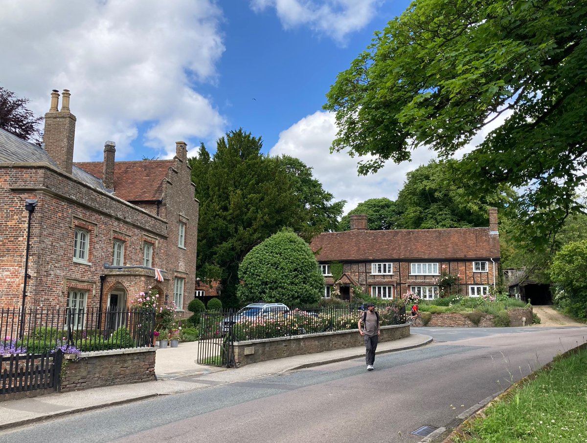
Back on the Roman route to Bexleyheath, where Chaucer-obsessed William Morris built his Red House in 1860 as close to Watling Street as he could, up and over the curious detour still called Old Road in Crayford, where the Romans abandoned the line to climb the hill, and into Dartford.

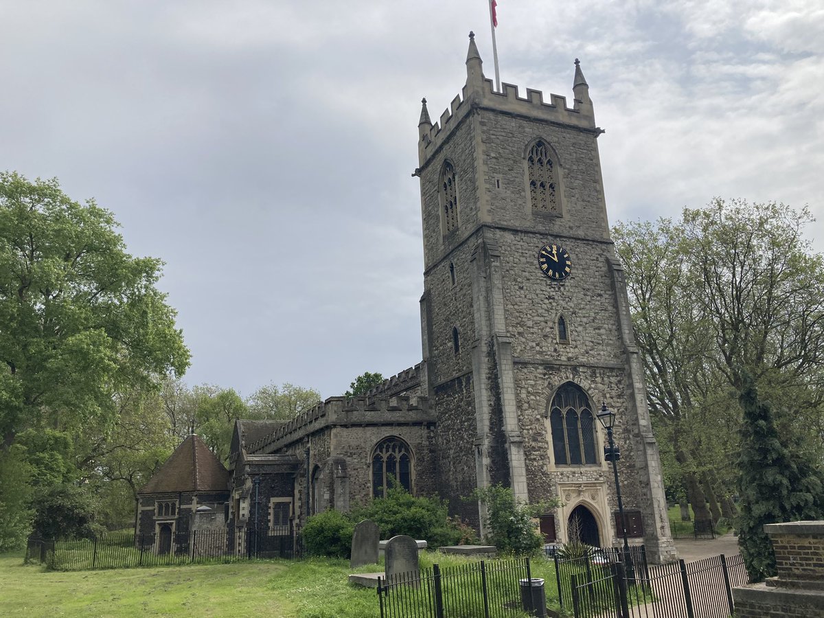
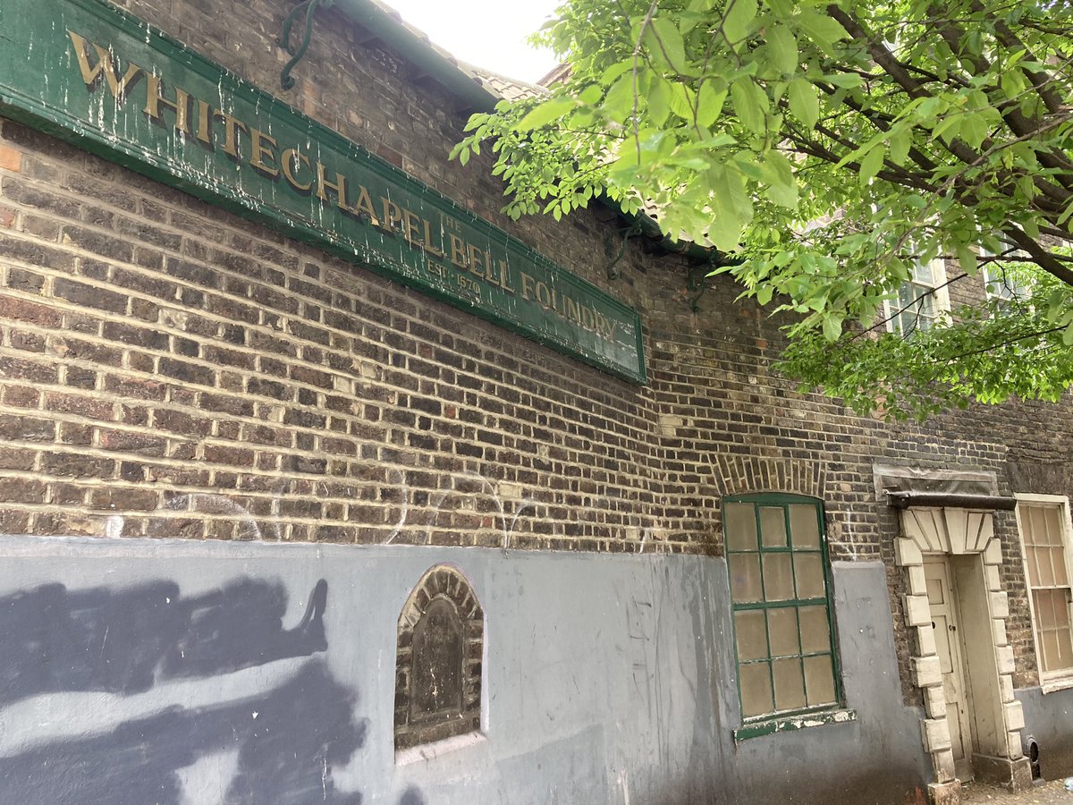
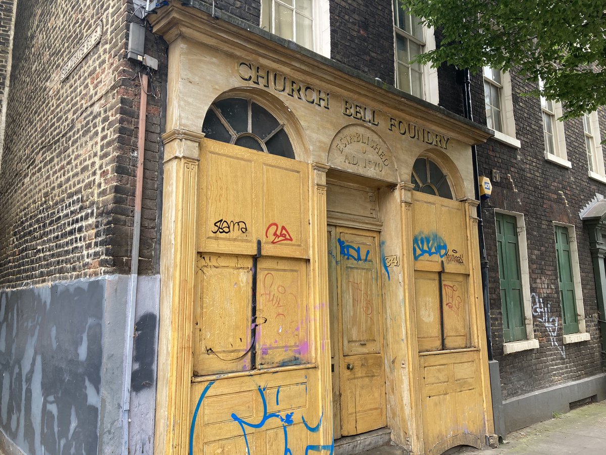
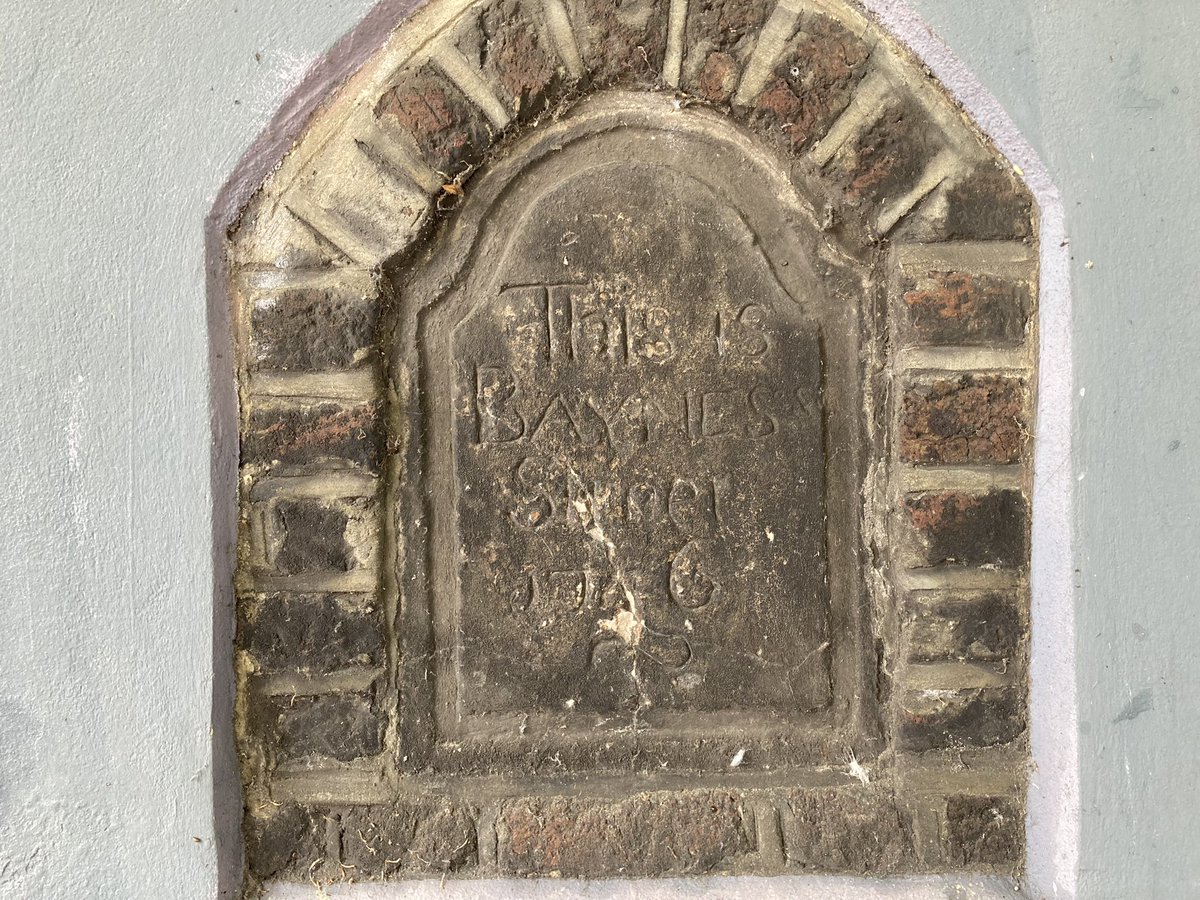
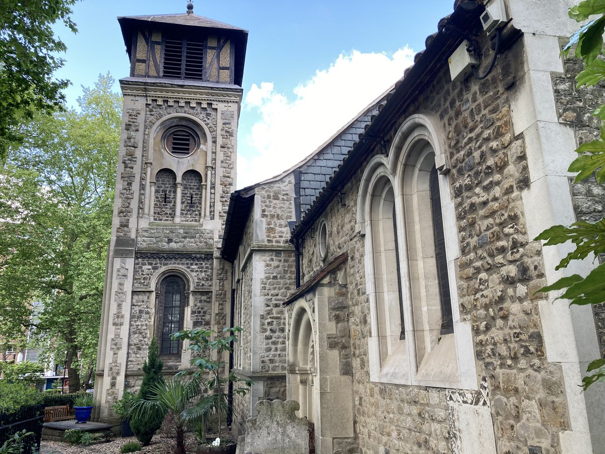
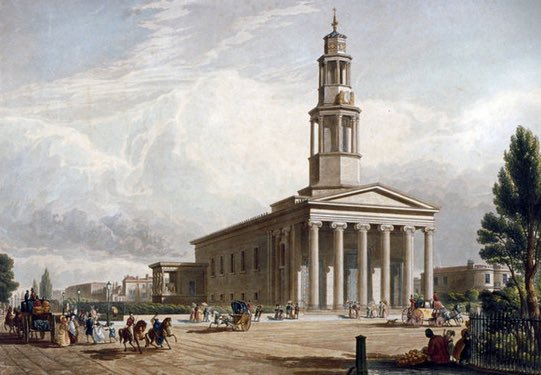
Dartford is one of numerous places claimed to be where the revolting peasant Wat Tyler was born, and it is certainly where he and his men passed – like Henry V only 34 years later, they came this way from Canterbury, although in their case it was to murder another Archbishop of Canterbury, Simon Sudbury, rather than honour one. Jane Austen also travelled to Canterbury and stopped in an inn nearby. In the lane pictured here, Watling Street hints at itself in a hump in the road. And here too is Holy Trinity Dartford, which had a chapel dedicated to St Thomas. Dartford had a foundry where pilgrims’ badges were churned out, and the town took a big economic hit when Henry VIII stopped it all. End of walk 2!

3. Dartford to Rochester

And so into the edgelands, one weary son still with me, past the modern pilgrimage site of the Bluewater shopping centre. Poet Dan Simpson followed Watling Street 10 years ago but described this section alongside the multi-lane A2 as ‘unwalkable’. Challenge accepted.

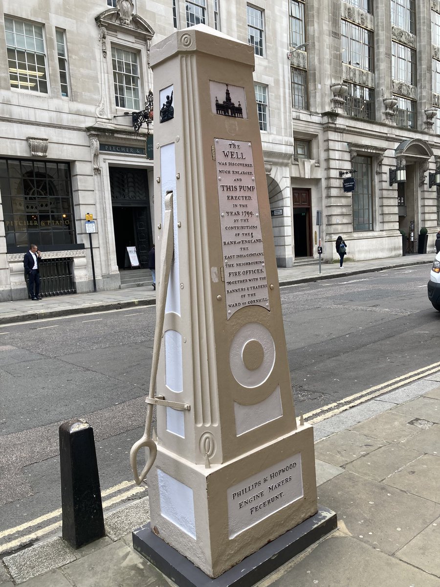
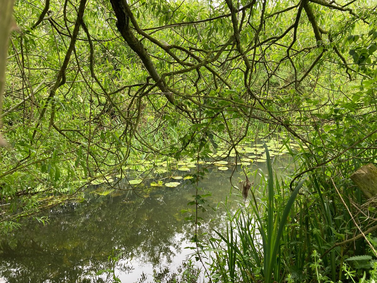
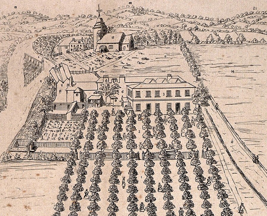
From Bluewater to sacred water. This section is punctuated by ancient springs and wells. Just before the confluence of Watling Street and the High Speed 1 rail line used by Eurostar is Springhead, where eight springs form the source of the River Ebbsfleet and the Romans built Vagniacae, a complex of around a dozen temples. And here in 1805, a man named William Bradbery started Britain’s first commercial watercress farm – a later owner added a small zoo, fortune tellers and other gimmicks like a modern garden centre, and there’s still a nursery here today.

Passing south of Gravesend, along here were Singlewell and then the Well of St Thomas; tantalisingly both survived until the 1950s but we could find no sign of them now, and took a detour to Cobham for lunch. This is the Leather Bottle inn – its very name describing one of the key accessories for medieval pilgrims. Dickens immortalised this pub in the Pickwick Papers. A few years later, artist Richard Dadd was convalescing in the same street. He was five years younger than Dickens and both spent their formative years in Chatham and Rochester, but only Dadd was possessed by the Egyptian god Osiris. One day in August 1843, Dadd took a walk with his father – Dadd’s dad, if you will – and stabbed him to death in Cobham Park under the god’s orders. Dickens later took his friends to the spot, which became known as Dadd’s Hole, which my son and I unwittingly passed right by on our walk. On 7 June 1870, obsessive walker Dickens went for his very last walk here in Cobham Park – two days later he was dead.

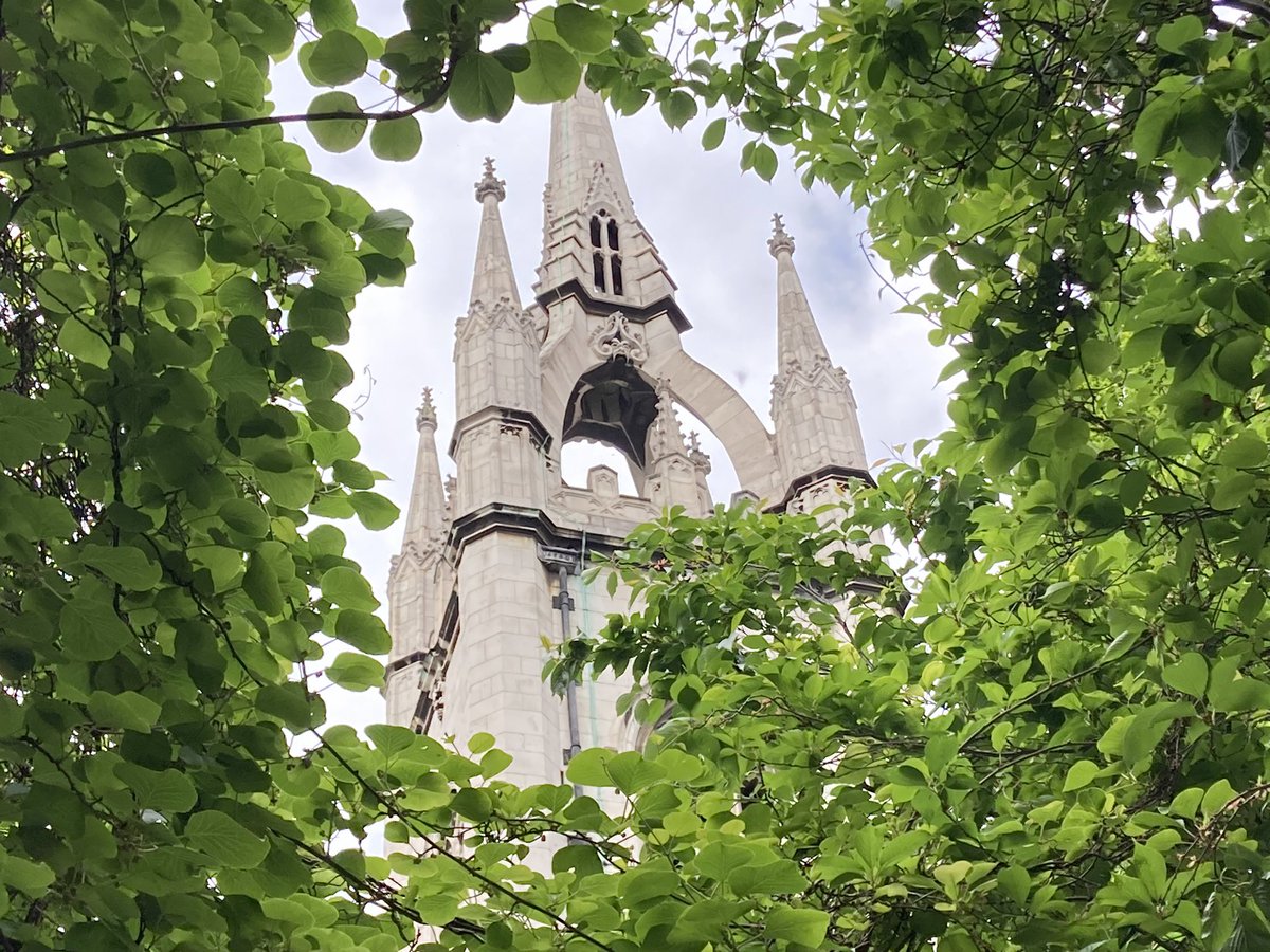
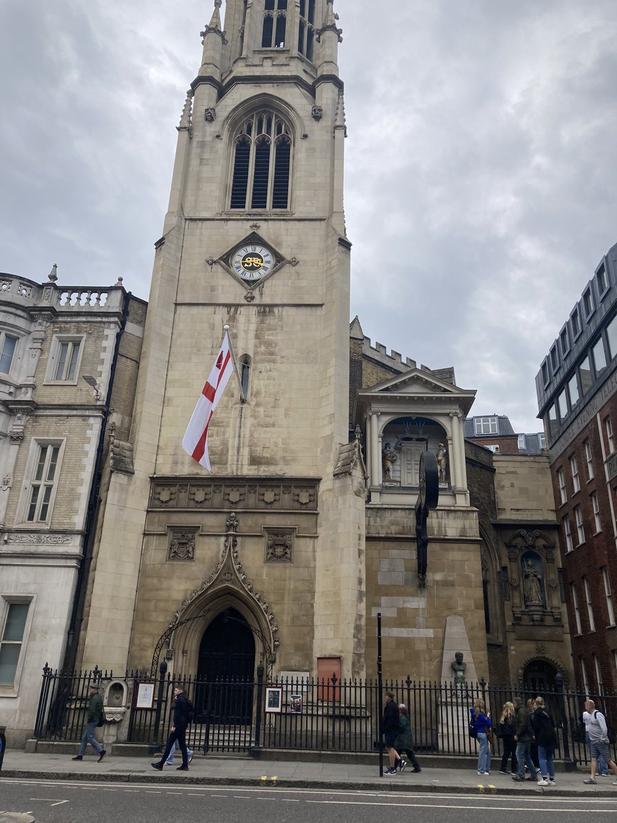
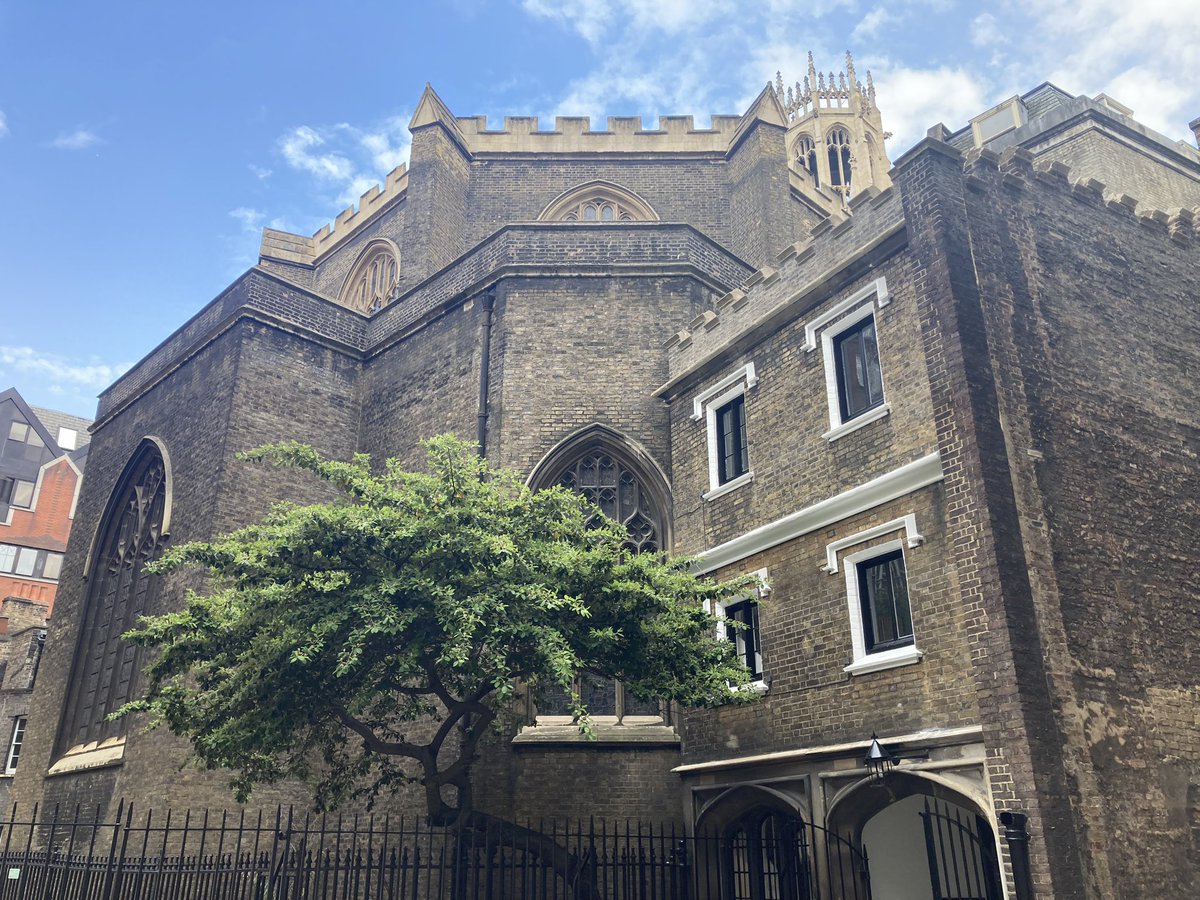
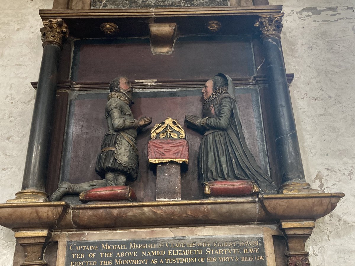
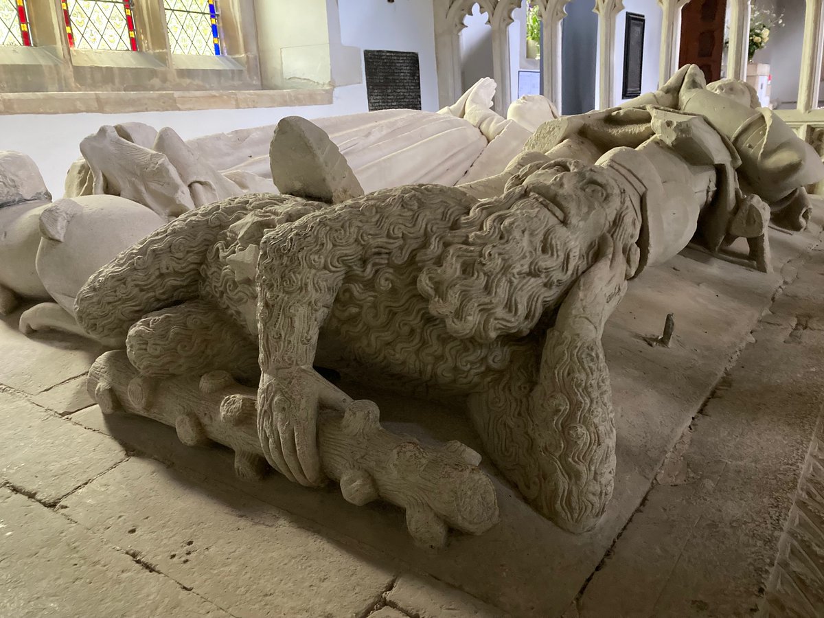
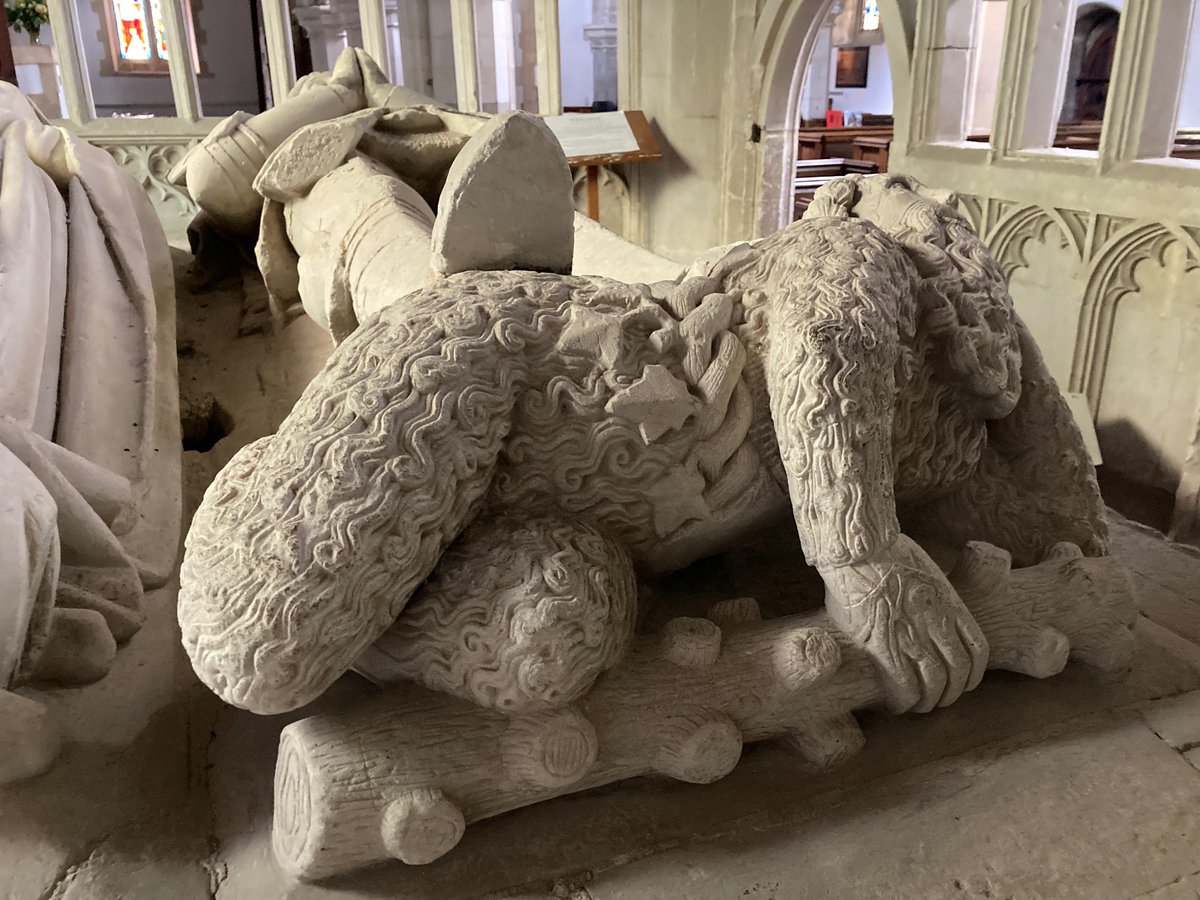
And so to Rochester and its cathedral, which has a flight of Pilgrims’ Steps. These footworn steps once took pilgrims to the shrine of St William of Perth, himself a humble baker once a pilgrim to the Holy Land and murdered in 1201.

4. Rochester to Faversham

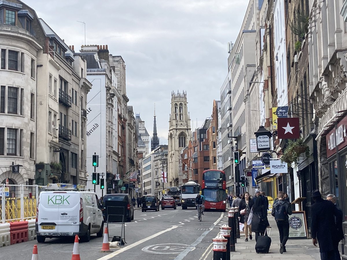
Walking, alone now, through the high streets of Rochester and Chatham offered me a microcosm of the contradictions of Britain: the former is heritageland, with Rochester’s grand castle, focal point of many battles but finally pillaged by Wat Tyler’s crew, the country’s second oldest cathedral, and enough Dickensian flummery to fill a theme park. But the tourists don’t reach Chatham High Street, a multicultural place with Romanian corner shops, a busy synagogue and all too many people sleeping rough.

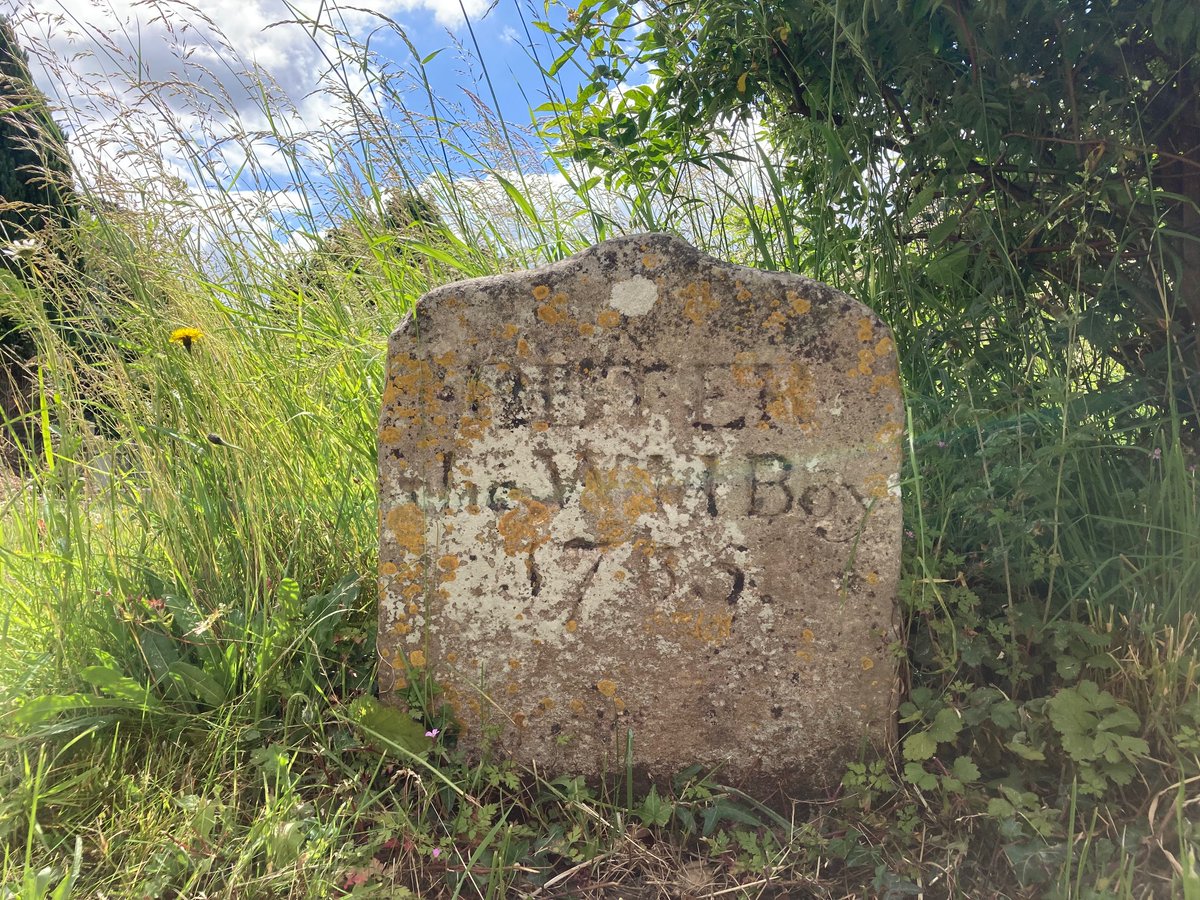
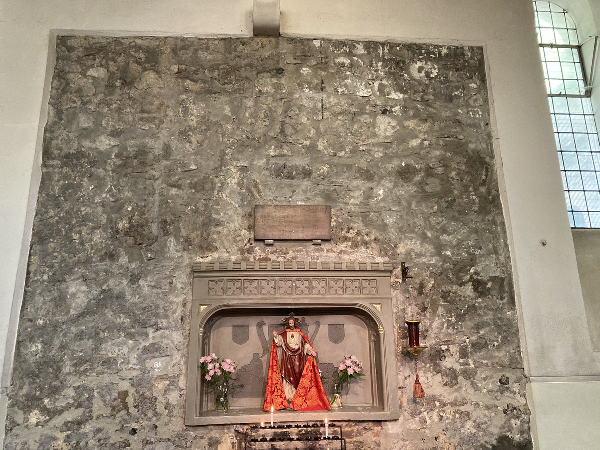
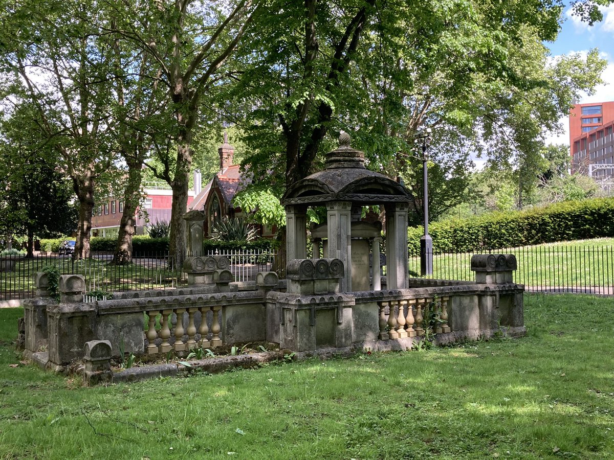
The Roman road blasts onward though. Here at Newington, Becket himself visited on his last journey to London, leaving, so it is said, miracles in his wake. And we have a mystery tomb: this is held to be the shrine of St Robert of Newington, possibly another murdered pilgrim. And this could be only one of three shrines in Britain where a saint’s relics can still be found, one of the others being Westminster Abbey. Robert probably died in 1350, and the church also has 14th-century wall paintings.

Meanwhile, in 2019 a Roman temple was found during the creation of the new Watling Place housing development – this reconstruction 70 metres away was only built in 2021. Two fields away is Keycol Hill, once known as Crockfield because of the sheer number of finds from a huge Roman cemetery here – I found possible Roman pottery myself. The name Keycol appears to be a corruption of Caii Collis – Caesar’s Hill. And the next place we reach is Key Street. This village was mostly obliterated by road developments for modern traffic in the 1980s and 1990s, and a forlorn and lonely history board stands at the roundabout here. But Key Street is the true name of Watling Street too – the Waeclingas were the folk of St Albans, nowhere near here, but in Saxon and Jutish times this was actually Caising Street – Caesar’s Road. The key street. This modern street name is all that remains to mark this.

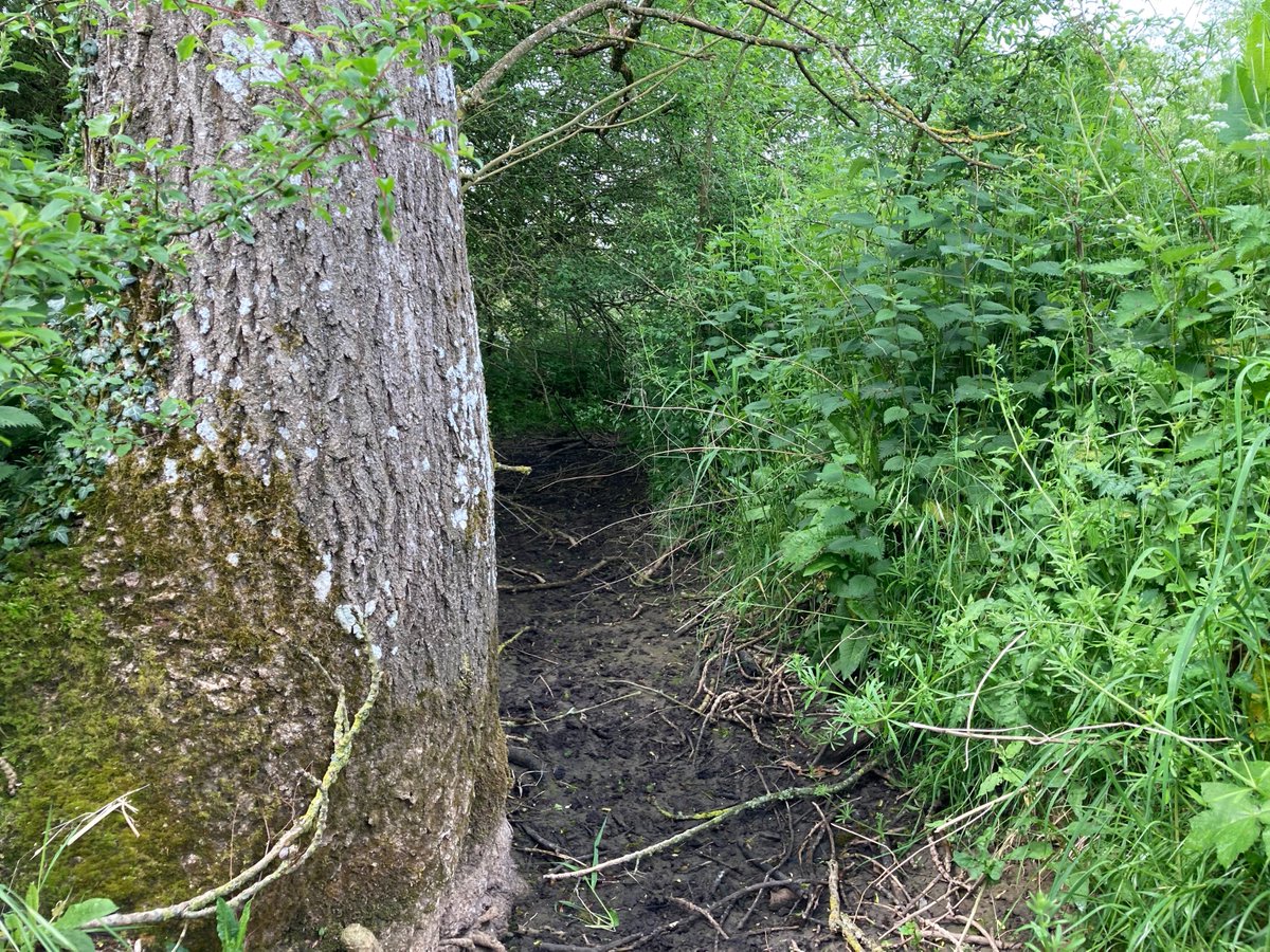
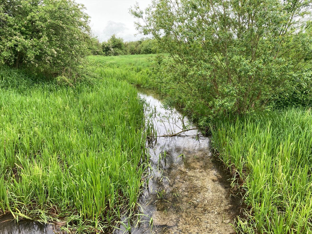
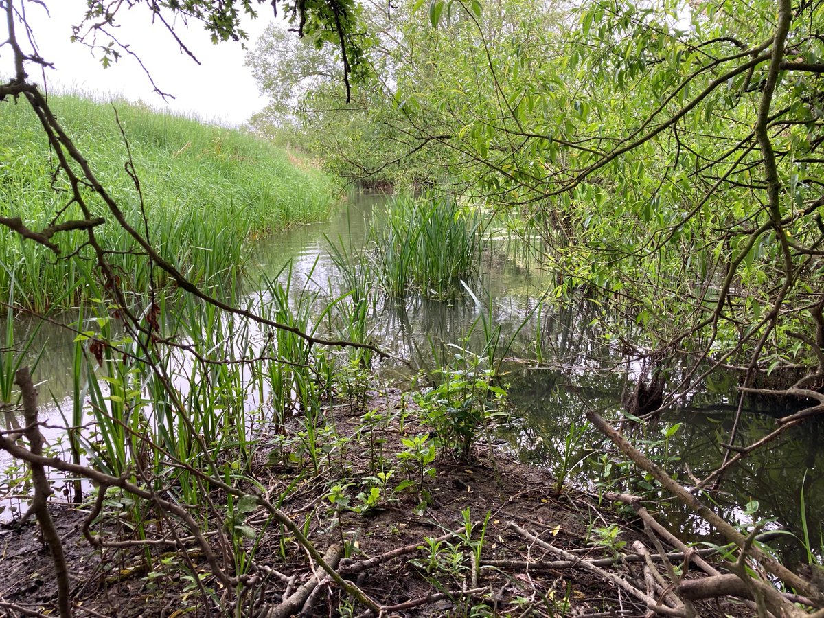
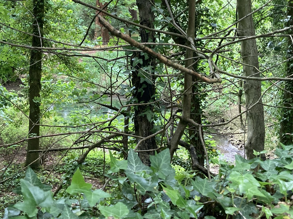
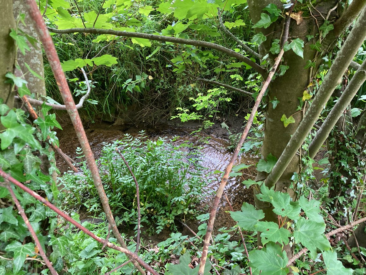
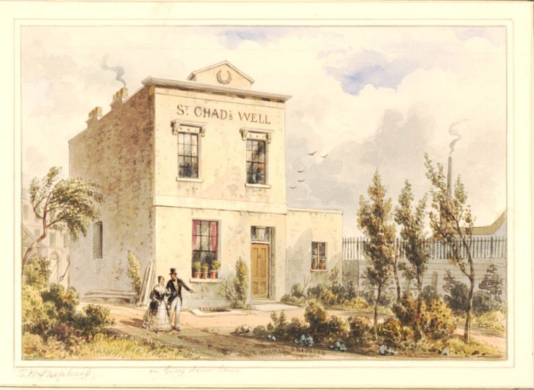
The street passes straight through the heart of Sittingbourne, where there were more medieval chapels seeking alms from passing pilgrims, and on to Bapchild, home to the Spring of St Thomas. See the modern echoes here, in a new housing estate and the Bapchild wastewater pumping station. I trekked across a field to find the boggy remains of this key saintly site.

The next settlement is Teynham now, but until the 1940s this part was called Greenstreet, weirdly erased from the map and from the place, other than a Methodist church name. I took a two-mile detour to Lynsted, where my great-grandmother Eliza Allsworth’s family came from. Her chest of drawers sits in by bedroom today. I found family graves here – was this home? I felt nothing, having no real-life connection here. But after this walk I did find that one of Eliza’s own great-grandmothers was… Hannah Greenstreet, born in the 1750s. There have been Greenstreets here since at least Chaucer’s time, and an Adam Greenstreete took part in Jack Cade’s rebellion, marching from here back to Blackheath. The green street – my ancestors even shared their name with this ancient road.

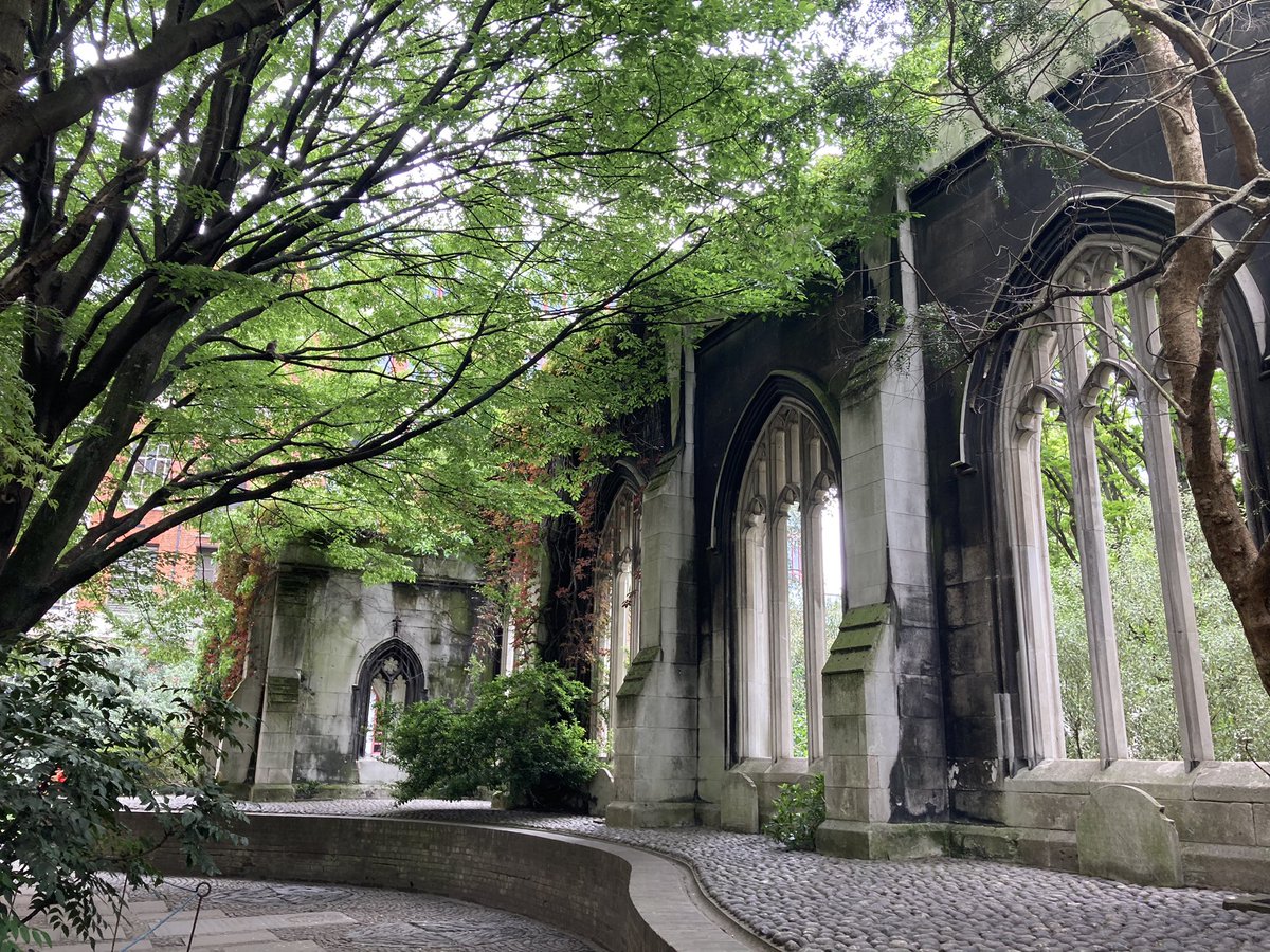
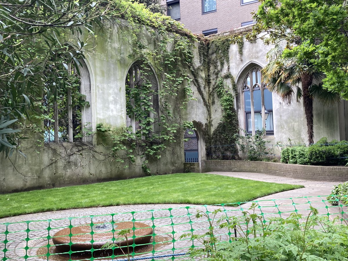
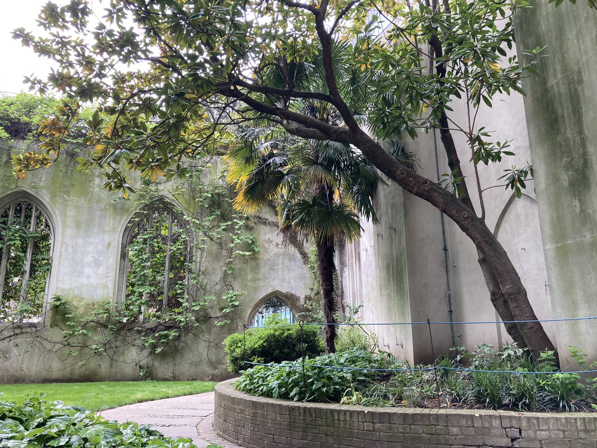
A couple of miles along, this amazing site brings the Romans and the medieval travellers together: Stone Chapel, believed to be the only place where a Roman temple directly became a Christian church, and you can still see how the different eras added new chambers on. But for the last 500 years, it has stood a ruin, marooned beside the busy A2.

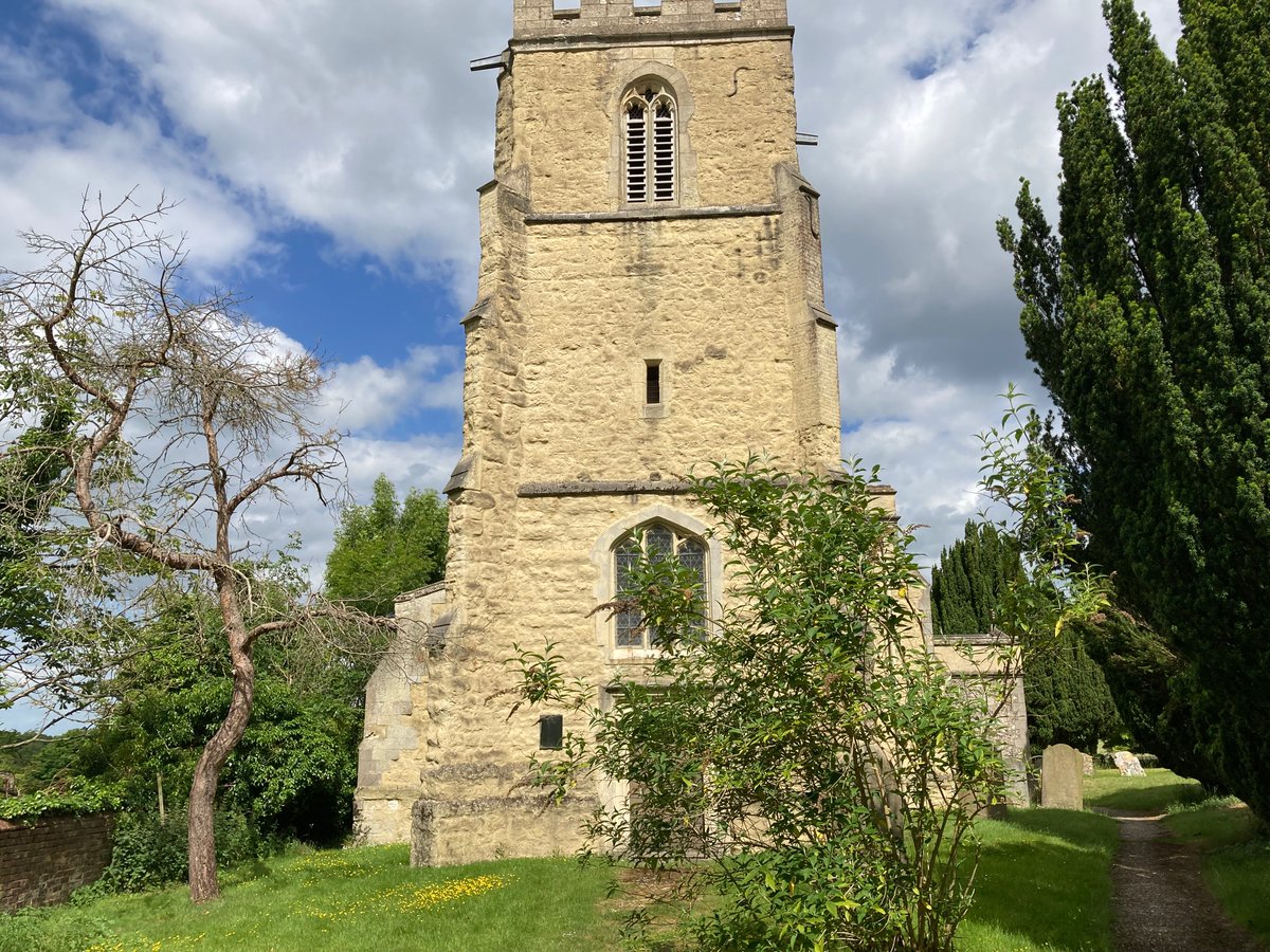
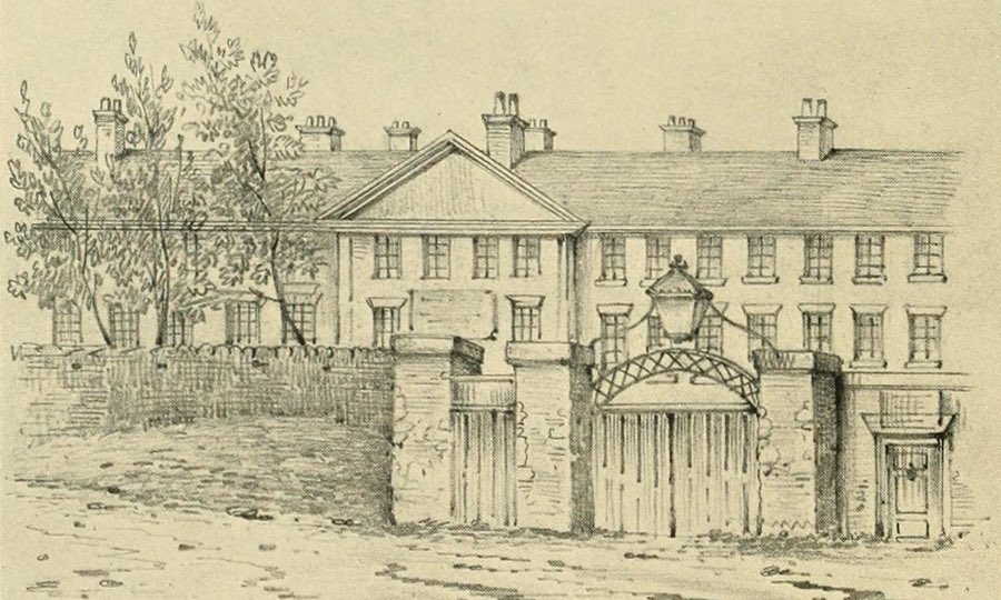
A medieval survivor a mile more on though is the Maison Dieu at Ospringe, where scholars imagine Chaucer’s pilgrims would have stayed the night before the final push to Canterbury. Royalty certainly stayed here. Seven years after his Agincourt triumph, Henry V was resting here – but this time in a coffin, his final journey into the afterlife, along Watling Street again. And although the building has seen many changes, the heart of it remains, here on the edge of Faversham.

5. Faversham to Canterbury

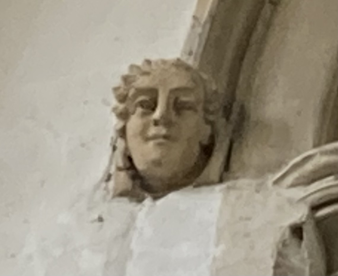
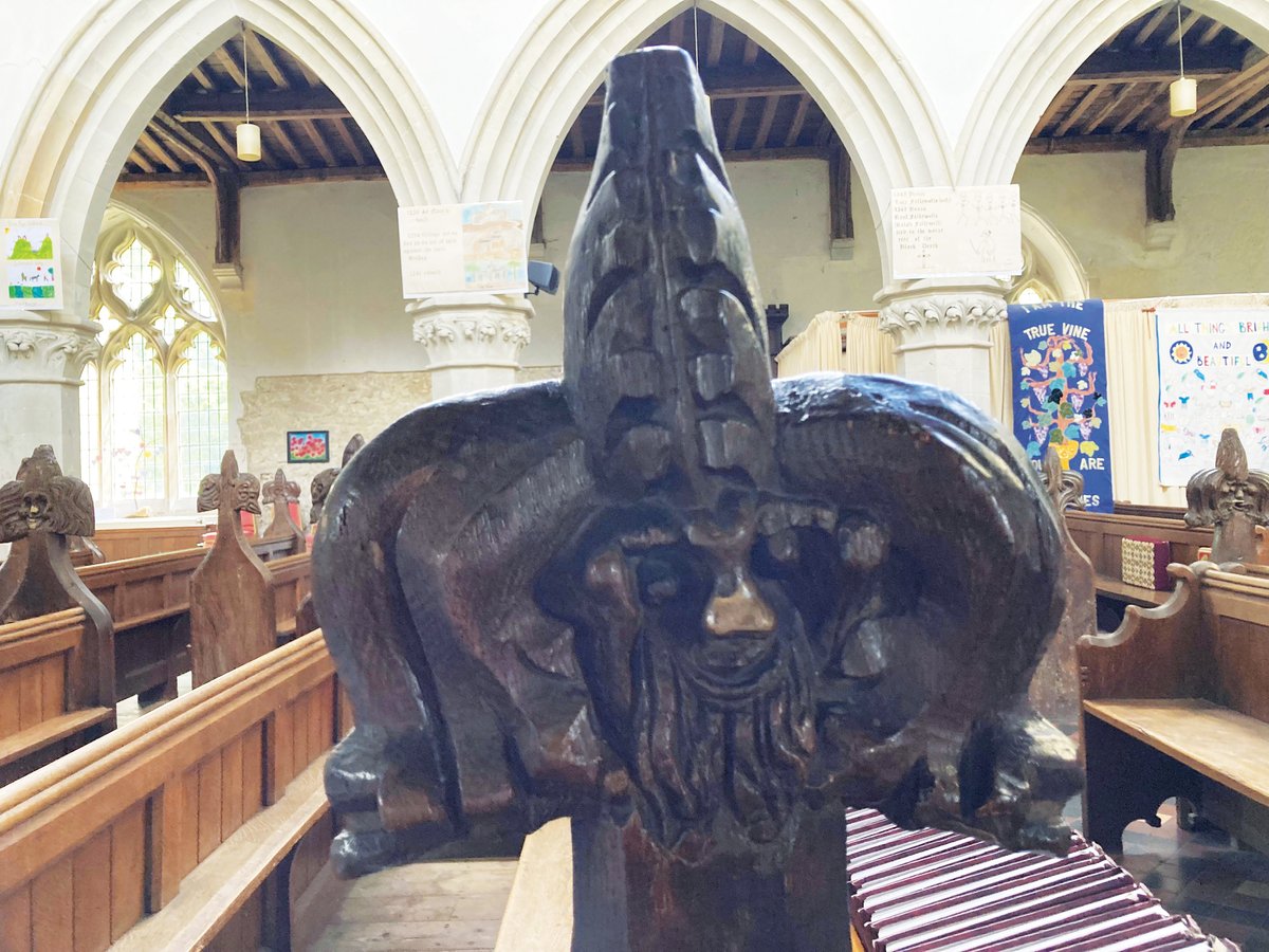
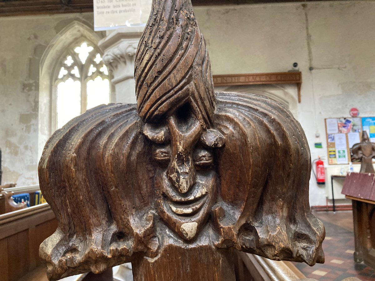
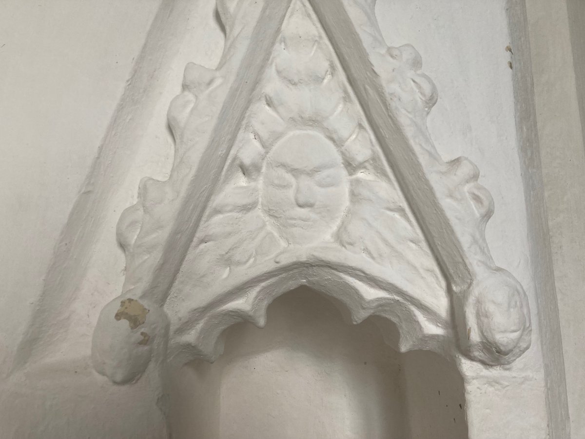
The weary pilgrim pictured here is from Faversham church, in a section which was once the Chapel of St Thomas, although I couldn’t find it due to building work. A medieval painted column is a treasure easily found.

The last place Chaucer actually mentioned was Sittingbourne, but now we have two in a row.

The first is Boughton-under-Blean, perched under what remains of the ancient Forest of Blean – where I used to have to do cross-country runs at school. Now the modern A2 pulls away briefly to leave the village in peace.

On into Dunkirk, where the village sign proudly commemorates the local radio mast – and the ‘Battle of Bossenden Wood’. Another act of rebellion along our street, this was a brief skirmish – some claim it as the last armed uprising in Britain – in 1838, led by ‘Sir William Courtenay’, in fact a chancer called John Tom from Cornwall protesting against the new Poor Laws and who had been locked up in the Kent county asylum.

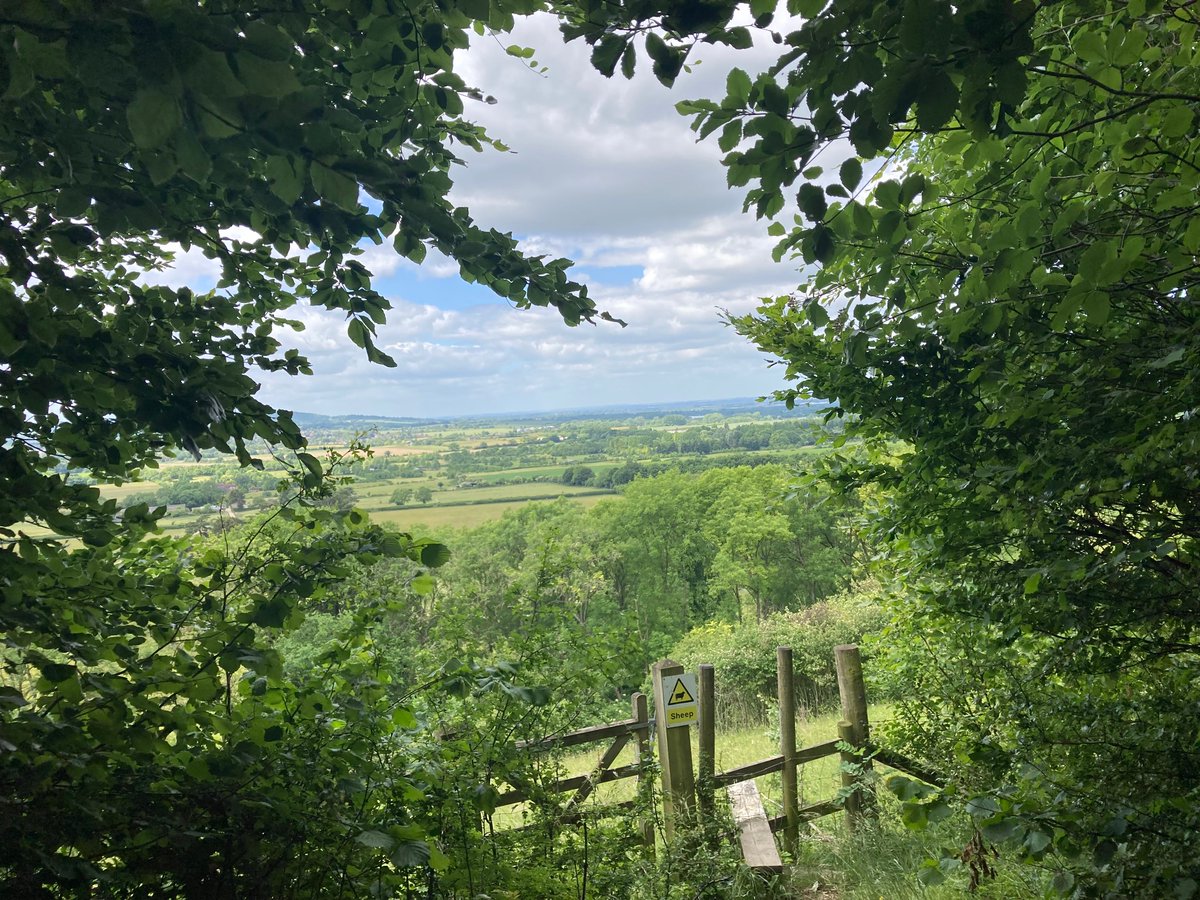
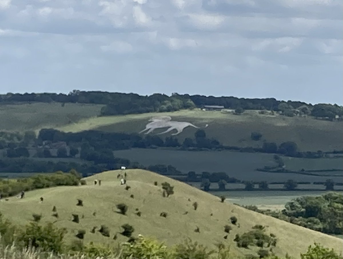
Victorian scholars argued over the location of the next place Chaucer describes only as a ‘litel toun, which that ycleped is Bobbe-up-and-doun, Under the Blee’, but it seems almost obvious as one bobs up and down the Roman road in this undulating place that it refers to Harbledown. This was certainly important to the pilgrims – Henry II himself made penance for Becket’s death by walking barefoot from here to Canterbury (I was too tired to do that myself).

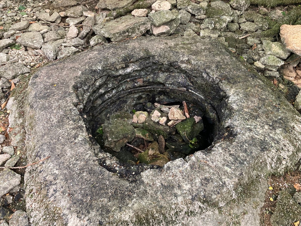
The Hospital of St Nicholas was founded here in the 11th century, around the same time as the church which survives, which claims to have an old shoe buckle which belonged to Becket himself. There are still almshouses here in an echo of those times, and at last – a well of St Thomas which still exists. In around 1513, the great Dutch theologian Erasmus came here with his English friend John Colet, they were invited to kiss the shoe buckle. Colet angrily responded, ‘Do these fools expect us to kiss the shoe of every good man who ever lived? Why not bring us their spittle or their dung to be kissed?’ The church was locked when I visited, so the shoe buckle eluded me.

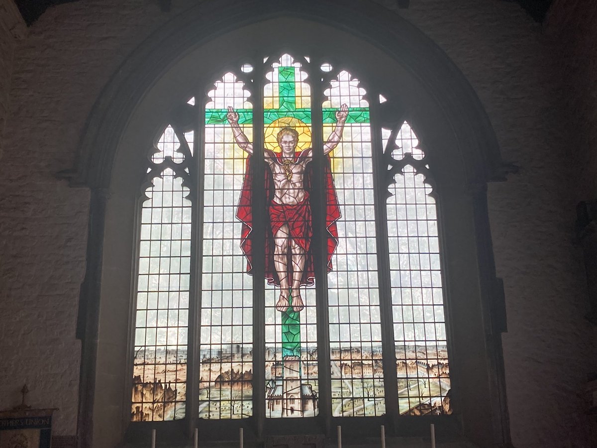
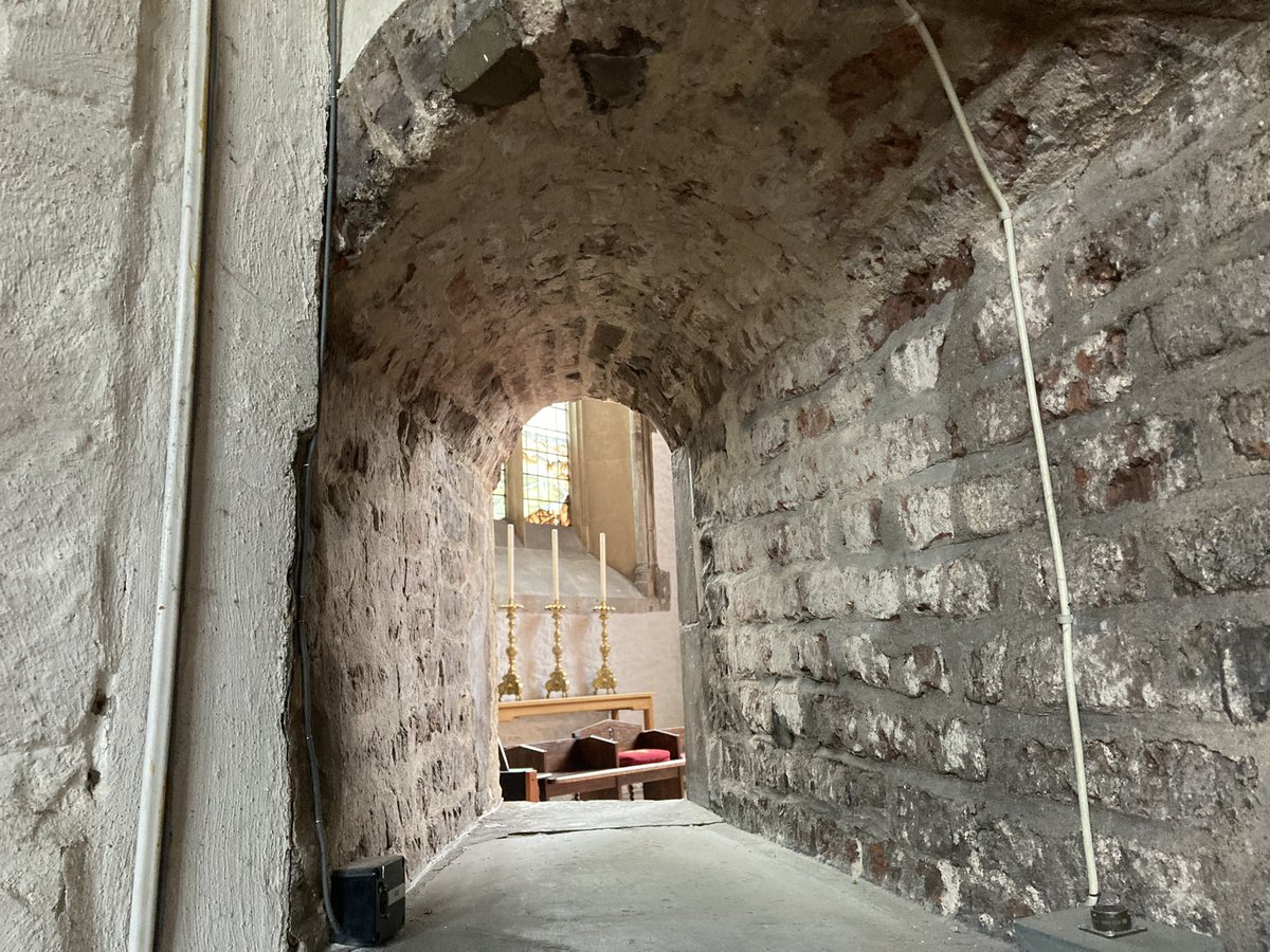
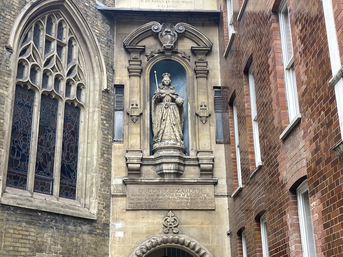
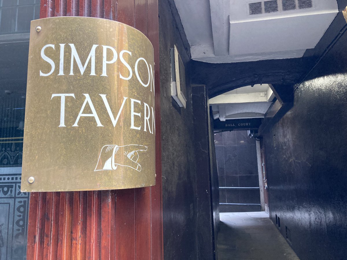
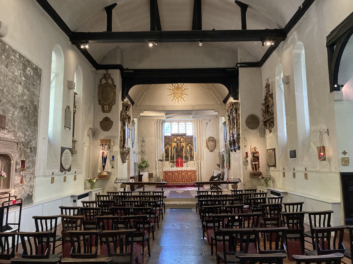
Finally, into Canterbury. The original Watling Street turned south-east here and entered the city at the long-gone London Gate, near today’s Rheims Way. In 1379, Simon Sudbury, only two years before his decapitation in London by Wat Tyler and friends, built the Westgate, and what was called the Pilgrim’s Road is now what we call London Road. Here are two hostelries for pilgrims of different kinds. One is the St Eastbridge Hospital of Thomas the Martyr, founded in the 12th century and still an almshouse offering accommodation for elderly people of the city.

The other is a bed and breakfast in London Road, the Pilgrims’ Road – and it’s the house where I lived when I was 15 years old. It’s where I stayed at the end of this walk. Did it feel like home? I’m still thinking about that.

Conclusion

Where we are ‘from’ is complicated. A DNA test proved my Kentish heritage but also shows my genetic lineage is 4% from France – no surprise, as I have a French middle surname which I now know some of the history of and which may go back to Huguenot times (many of those original refugees of course settled in Canterbury and in Rochester). And 15% of it seems to be from Sweden and Denmark.

Which brings me to the Jutes. Archaeologists refer to the ‘problem of the Jutes’ – we don’t know much about them other than that they settled in both Kent and around the Isle of Wight. How distinct they were from the Angles and the Saxons isn’t very clear, and over there in Jutland, there seems little evidence of them. In Kent, the ‘ing’ place names – like Sittingbourne, Newington, Ospringe along our Caising Street – may be Jutish. Is my Kentish DNA pointing back further in time to Scandinavia? Is that where I’m from? But we’re all fossil records of ancient migrations.

All along this route I have found vestiges of the ancient ways, echoes and ghosts – of the medieval pilgrims almost a thousand years before us, and of the Romans a thousand years before them. Signs persist, but they mark absences. Perhaps that’s what our identity and sense of belonging is too – a form of cognitive dissonance, holding multiple versions simultaneously. The self is like the ever-changing road, and the journey is our real home.

In search of St Dunstan: a London walk

(Another walk originally published as a Twitter thread.)


Amazingly it’s over a year since my last #10tweetadventure celebrating #pancrasday. So what better than tracking down another saint, this time more intimately associated with London. On St Dunstan’s Day, 19 May, I give you… #dunstanday

  • A close-up of a stained glass window Description automatically generated

1 Dunstan (c.909-988) was a proper English (Saxon) saint. He was born in Baltonsborough, Somerset, near Glastonbury where he became abbot. He was later bishop of Worcester, then of London, and Archbishop of Canterbury (serving 7 kings!). Here’s his alleged selfie. #dunstanday

  • A close-up of a drawing Description automatically generated

2 It’s thanks to Dunstan we have lucky horseshoes (the story goes he nailed one to the Devil’s hoof, as well as tricking Old Nick in other ways – see picture). A craftsman and scholar himself, he’s the patron of metalworkers, jewellers and locksmiths. #dunstanday

  • A painting of a person holding a sword to a wolf Description automatically generated

3 We start in Stepney at St Dunstan & All Saints (Church of the High Seas) rebuilt by Dunstan himself (who may have lived nearby), and again in the 15th & 19th C. A Saxon rood cross survives. 17th C herbalist & hermit Roger Crab is buried here (see below). #dunstanday

  • A stone church with a clock tower Description automatically generated
  • A stone arch with carvings on it Description automatically generated
  • A stained glass window with a person on the cross Description automatically generated
  • A brick archway with a brick wall and a couch in the background Description automatically generated

4 This is all that remains of Whitechapel Bell Foundry (which provided bells at St D’s in Stepney). A sad end for a business that started in the 16th century (but @savetheWbf offers hope). St D allegedly cast bells himself and became the patron of bellringers. #dunstanday

  • A building with a sign on the side Description automatically generated
  • A building with graffiti on the front Description automatically generated
  • A stone plaque with writing on it Description automatically generated
  • A group of large tires with a bell from them Description automatically generated

5 The City: all that remains of St Dunstan-in-the-East is this haunting garden. It dates from c.1000, expanded 1391 and patched up in the 1660s after the Great Fire, with a new Wren spire. It was rebuilt again in the 1810s before the 1941 Blitz finally did for it. #dunstanday

  • A tall building with a steeple and a tree Description automatically generated
  • A stone walkway between trees Description automatically generated with medium confidence
  • A building with a fountain and grass Description automatically generated with medium confidence
  • A tree in front of a building Description automatically generated

6 A detour to Guildhall Art Gallery (@GuildhallArt) & its treasures, including a Roman amphitheatre only found in 1988. (Alas we were unable to look inside the Great Hall, where the figures of Gog & Magog can be found – but we’ll meet them again later anyway…) #dunstanday

  • A large building with many windows Description automatically generated
  • A painting of a statue in a room Description automatically generated
  • A room with a display of people Description automatically generated with medium confidence
  • A stone wall with a black background Description automatically generated with medium confidence

7 Westward, to our 3rd church… St Dunstan-in-the-West. It dates from Norman times, rebuilt in the 1830s. Bible translator William Tyndale preached here and poet John Donne was rector. Walton’s Compleat Angler was published here. Predatory Pepys plagued maids here. #dunstanday

  • A street with cars and people on it Description automatically generated
  • A building with a clock and a flag on the side Description automatically generated
  • A building with a tree in front of it Description automatically generated

8 St D-in-the-W ‘s treasures include this 1586 statue of Elizabeth I moved from the lost Ludgate; a crumbling statue of King Lud himself, with his two sons; up in the tower, the bells are struck hourly by these figures of giants Gog and Magog (or Gogmagog & Corineus) #dunstanday

  • A statue on a building Description automatically generated
  • A statue on a building Description automatically generated

9 Oddly all 3 churches had 17th C wood carvings by Grinling Gibbons; only one survives – the communion rail here. (Apologies to St Dunstan’s in Cranford Park (too far!) – where Tony Hancock’s ashes lie – & l all the many St Dunstan churches across southern England.) #dunstanday

  • A brick building with a tower in the background Description automatically generated

10 If you’ve enjoyed #dunstanday, see #Pancras day, #10tweetadventure and #londonfogg, or subscribe to my history newsletter (@gethistories, link in bio). The latest edition tells the story of Roger Crab!

Follow-up, 20/6/23

Some offcuts/extras from yesterday’s #dunstanday walk 1/3. Memorial in Stepney; history of Stepney Green; The Good Samaritan pub; Royal London Hospital’s crumbling former outpatients building.

  • A statue of two people Description automatically generated
  • A sign on a grass field Description automatically generated
  • A sign on a building Description automatically generated
  • A building with a blue awning Description automatically generated

#dunstanday offcuts 2/3. A Cornhill alley; an historic well; the philanderer Pepys; Queen Vic’s diamond jubilee.

  • A sign on a pole Description automatically generated
  • A monument on the sidewalk Description automatically generated
  • A statue of a person in a stone wall Description automatically generated
  • A painting of a crowd of people in a gold frame Description automatically generated

And #dunstanday offcuts 3/3. Postman’s Park; the garden at Wren’s Christ Church Greyfriars; Confucius at Clifford’s Inn (in fact the old churchyard of St Dunstans-in-the-West where publishers sold books 👋@joe_saunders1); and The Old Bank of England pub.

  • A plaque on a wall Description automatically generated
  • A stone building with a path and plants Description automatically generated
  • A statue of a person in a park Description automatically generated
  • A chandelier from the ceiling Description automatically generated


A short thread on kissing gates

(Archived from a Twitter thread.)


In a supplement to the latest @countrywalking magazine supported by @komoot, I spotted this note on the origins of kissing gates, which made me sceptical (I’d always thought the ‘kiss’ was from the swinging gate touching its frame). This sent me down the footpath of research…🧵

The OED defines a kissing gate as ‘a small gate swinging in a U- or V-shaped enclosure, so as to allow only one person to pass at a time’, with its earliest citation from 1875. But Google Books quickly reveals many earlier instances…

The earliest of these I can find is from Francis Lloyd’s 1844 novel (published anonymously) called Hampton Court, or The Prophecy Fulfilled, referring to ‘the swing bars of Petersham meadow kissing gate’. (This is Turner’s painting of this area from Richmond Hill.)

Here’s Charles Mackay, author of Extraordinary Popular Delusions and the Madness of Crowds and a prolific Victorian songwriter, with a poem published in 1859 ‘founded on an old custom’, bringing us back to smooching:

Three years later Mackay also wrote a novel, The Gouty Philosopher, locating a ‘kissing gate’ in a churchyard. But then The Churchman’s Shilling Magazine has a reference in 1867 to a kissing gate on a coastal footpath, no church in sight.

The very earliest reference I can find anywhere to a ‘kisting gate’ is from Pamela Haines’ 1981 novel The Kissing Gate, which seems to allow for *all* of our definitions.

And in fact the original Notes & Queries argued about it back in 1904! The Internet Archive has multiple Victorian/early 20th C books about rural dialect, and ‘kissing gate’ typically features in those from southern England (similar are cuckoo gate, clap gate and lappin gate)

A ‘kist’ is normally a stone coffin, so not something you’d be lugging around much, and my feeling is that the Scottish/northern English use of ‘kist’ has somehow got muddled with the lych-gate, where a coffin would be sheltered until a funeral.

Is there a north-south divide between ‘kisting’ and ‘kissing’ for the etymology of this term? We definitely need more evidence, and the former doesn’t seem to have any pre-20th C evidence at all! (Pic by my friend Jody, https://www.instagram.com/jodyoreillyprints/)

If you know of earlier sources for these terms, let me know! And in the meantime, if you enjoy historical rabbit holes, please subscribe to my weekly newsletter, via @gethistories or https://www.gethistories.com

UPDATE! @bnarchive provides this snippet from a report of the Suffolk assizes in the 4th April 1820 edition of the London Star, certainly suggesting the term was in common use then. Definitely not in a churchyard!

The wild men of Buckinghamshire (a walk)

(This was a walk originally published as a #10tweetadventure on Twitter.)


It’s time for a quick write-up of yesterday’s walk: a new #10tweetadventure. This one isn’t probing any particular mystery in depth, but I can at least offer you a wild boy, a wild man and several green men. So no need for a stony expression. 1/10

  • A statue of a person's face Description automatically generated

We begin in Northchurch, in a corner of Hertfordshire poking towards Buckinghamshire – and here is the simple grave of an 18th century phenomenon: Peter the Wild Boy. He was found living feral in the woods near Hamelin by George I out on a hunting holiday. 2/10

  • A stone with writing on it Description automatically generated

Peter was brought back to live among the king’s courtiers. Here he is – clutching some acorns in a painting by William Kent on the staircase of Kensington Palace, and shown in later life: he lived until his 70s, albeit without learning to speak more than a few words. 3/10

  • A portrait of two people Description automatically generated

Our walk took us to the Ridgeway – and here’s a little chunk of the mysterious Grim’s Ditch, an earthwork that may be a boundary, or not, dating to the Iron Age, or not – perhaps related, or not, to the bits of Grim’s Ditch near where I live in Oxfordshire. 4/10

  • A dirt path in a forest Description automatically generated
  • A wooden gate in a forest Description automatically generated with medium confidence
  • A signpost with arrows pointing to different directions Description automatically generated

At the far end of the Ridgeway – here, also the ancient Icknield Way – is Ivinghoe Beacon, an Iron Age hillfort (and a film location for 4 Harry Potters and The Rise of Skywalker, The Avengers (Steed not Marvel) & more). 5/10

  • A stone structure on a grassy field Description automatically generated

A steep chalky plunge into the vale leads to the village of Ivinghoe. History has also spelt it Evinghehou, Iuingeho, Hythingho, Yvyngho… and Walter Scott called it Ivanhoe, extrapolating a short old rhyme into a 180,000 word novel. 6/10

  • A person walking on a street Description automatically generated

Ivinghoe’s church has a fantastic collection of green men and other odd Tudor-era figures, including a mermaid (which I forgot to photograph) and some bat-like angels (which I didn’t). 7/10

  • A wooden statue in a church Description automatically generated
  • A ceiling with a couple of angels on it Description automatically generated with medium confidence
  • A wooden statue of a clown Description automatically generated

Over the fields and past Pitstone Mill – this is the ‘earliest dated’ windmill in Britain, from 1627 but quite possibly older. The National Trust gent there invited us to enter and “touch something 1000 years old”. I said I could always shake his hand instead. Oops. 8/10

  • A windmill in a field Description automatically generated

And Pitstone’s church, now redundant, has what’s claimed to be another green man, in a 15th century piscina (ecclesiastical washbasin). But the best thing of all on the walk has to be… 9/10

  • A white stone wall with a face carved into it Description automatically generated
  • A stone building with a tower Description automatically generated

This incredible wild man or wodewose, holding his ragged staff, in Aldbury church. Cheeky Sir Robert Whittingham (c.1429-71) is resting his plates on this amazing figure, which brings us back in a way to the wild boy we started with. 10/10

  • A statue of a person lying on the ground Description automatically generated
  • A statue of a dog lying on a log Description automatically generated

(PS Oops, I forgot the Whipsnade White Lion! England’s largest chalk figure, no less, made in 1933 – to scare away planes from scaring the zoo animals – and restored in 2018. 11/10)

  • A landscape of a hill with trees and a field Description automatically generated with medium confidence


Where is the real source of the River Thames?

(An archived thread from Twitter, investigating the source of the River Thames.)


1. A #10tweetadventure – exploring corners of history or landscape, but told in no more than 10 tweets. Today, let’s start with the source of the River Thames. Except… it isn’t.  A sign post and a stone Description automatically generated

2. For one thing, the site in Trewsbury Meadow has totally dried up – fair enough, it was always seasonal. But half a mile downstream is Lyd Well, in the area marked on old maps as Thames Head. But alas this was bone dry today too.  A stone wall with trees in the background Description automatically generated A hole in a rock Description automatically generated

3. The fons et origo, as it were, of historical accounts that this Thames Head is the source go back to John Leland in 1542: “Isis riseth at three myles from Cirencestre, not far from a village cawlled Kemble, within half a mile of the Fosseway, wher the very head of Isis is”.  A black and white portrait of a person Description automatically generated

4. But hang on: in 1598 John Stow wrote “this famous streame hath her head… about a mile from Tetbury, neare unto the Fosse, (an highway so called of old)”. But Thames Head is 6 miles from Tetbury, even as the crow flies. I’ve found a nearer candidate, only 2 miles from Tetbury!  A close-up of a person Description automatically generated

5. This is near the ultimate source of the Swill Brook (also dry alas). Its very brief Wikipedia page quips about it being bigger than the Thames where they meet. Er, hang on! Bigger? Also pictured here are where they meet, the weedy Thames thereafter and the lily-padded Swill.  A tree trunk in a forest Description automatically generated A stream running through a grassy field Description automatically generated A stream with grass and trees Description automatically generated A pond with lily pads and trees Description automatically generated

6. But as well as bigger, it’s longer! From Lechlade to Thames Head is 33.7km (I’ve measured it using specialist OS data). From Lechlade to the Swill’s source is… 39.5km! So apologies to Old Father Thames in Ashton Keynes here, but you’re in the wrong place, mate. But wait…  A statue of a person with a shovel in front of a house Description automatically generated

7. There’s even a further possibility mentioned in @PaulWhitewick‘s excellent recent thread and video about some of this, referring to a leak from the Thames and Severn Canal, further up than Thames Head.

A sign on a pole Description automatically generated

8. As Paul mentions, it’s an open secret that the *real* source is Seven Springs, known as the mouth of the tributary River Churn. Here it is, bubbling happily, a whopping 52.7km from Lechlade & making the Thames waters longer than the Severn. But… there’s a further source yet!

9. A bit W of there is this pond at Ullenwood’s college & a nearby stream – bubbling happily, a whole 54.8km from Lechlade, and feeding into the ‘Churn’. Thames Head is so utterly geographically – and even historically – wrong! Ah well: it won the gong, so the ‘source’ it is.  A forest with trees and plants Description automatically generated A stream in the woods Description automatically generated

10. Even the source of the tributary Coln is 49.km from Lechlade. Thames Head isn’t even technically in the top 10 distance-wise! This map (OS Open Rivers data) shows A: Thames Head B: Swill Brook C: River Coln D: Churn (Seven Springs) E: Churn (Ullenwood). Bye!  A map of a river Description automatically generated

In search of St Pancras: a London walk

(An archive of a live Twitter thread from 2022.)


Today I’m embarking on another London walking expedition… Join me on a 6-mile walk as I listen to the echoes of a Saxon-era cult, and learn about some literary legends, lost spas… and a walrus. I give you: #pancrasday

  • A painting of a person holding a palm Description automatically generated

Today, 12 May, is the feast of Saint Pancras, a little-known saint whose name is writ large in London, and commemorated in various UK churches. He was a 3rd century Turkish-born Roman who converted to Christianity & was beheaded c.304AD, perhaps by emperor Diocletian. #pancrasday

  • A painting of a person holding a cross Description automatically generated

Pancras/Pancratius (whose name means holder-of-everything) was venerated by the 5th century (he’s patron of children). Allegedly his head remains to this day in Rome’s basilica of San Pancrazio. But how come he’s all over (mostly southern) Britain? #pancrasday

  • A map of england with red pins Description automatically generated

The answer lies with St Augustine, the chap who came to Canterbury in 597AD & brought relics of Pancras with him (history does not record which bits) & the associated cult. Augustine’s 1st church in Canterbury (see pic of surviving ruins) was dedicated to Pancras #pancrasday

  • A drawing of an arch Description automatically generated

Plus a story tells that the monastery in Rome where Augustine had been prior was built on land once owned by Pancras’s family. Bede wrote of the relics in Northumbria c.60 years after Augustine came – Pancras became important here. Join me at 11am! #pancrasday

My London #pancrasday route begins of course at St Pancras station – more on that shortly. Along the W side lies Midland Road, built with the station, to the east of Somers Town. The railway development caused this to become a slum. (Map via http://theundergroundmap.com) #pancrasday

  • A close-up of a map Description automatically generated
  • A sign on a brick wall Description automatically generated

The district of St Pancras began as a parish but eventually encompassed dozens of parishes as the population rocketed in the 19th century (now in Camden borough). Swift’s Tale of a Tub is set in Pankridge, a version of the name Pancredge used since the 17th C. #pancrasday

Midland Road passes Brill Place, named for ‘The Brill’, earthworks which in 1750 William Stukeley fancifully imagined was where Caesar had held camp. But there were civil war defences here at Brill Farm in 1642 – and in fact a Roman road passes across here too. #pancrasday

  • A close-up of a map and a bust of a person Description automatically generated

Just W of here was a 15-sided building called The Polygon (demolished 1890), where writer William Godwin and feminist pioneer Mary Wollstonecraft lived – she died in 1797 giving birth to their daughter: later Mary Shelley. Dickens lived here when he was a teenager. #pancrasday

  • A black and white drawing of a city Description automatically generated

Here’s hope. #pancrasday

  • A black car parked on the side of a road Description automatically generated

Here’s amazing St Pancras Old Church, packed with history I can only touch on. Some have claimed it as England’s oldest but evidence lacks – that gong goes to St Martin, Canterbury, but St Paul’s in London is 7th C. & St Peter-upon-Cornhill could be even older. #pancrasday

  • A stone building with a tower Description automatically generated

St Pancras is at least Norman, and there could be a Saxon origin even. Documents date from the 11th C. and there’s an ancient altar stone (prob. Norman) found during a Victorian rebuild (1848) – plus some Roman tiles. 50 of Cromwell’s men lodged here and made a mess. #pancrasday

  • A room with chairs and a wall Description automatically generated with medium confidence
  • A stone wall with a statue of a person in a red robe Description automatically generated

But even by 1593, antiquarian John Norden would write “Pancras Church standeth all alone, as utterly forsaken, old and weather-beaten”. He warned of thieves and said “Walk not there too late”. The church stood beside the now buried River Fleet (pic is from 1815). #pancrasday

  • A black and white picture of a church Description automatically generated

The graveyard has many more stories. Shelley canoodled with Mary here. Dickens fictionalised the bodysnatching. Moody poet Chatterton fell into a fresh grave and killed himself 3 days later. 100,000+ burials were made, including refugees from the French Revolution. #pancrasday

  • A painting of a person lying on a bed Description automatically generated

In 1803, an extra graveyard for St Giles-in-the-Fields was added: inmates include John Soane, whose tomb inspired the K2 phone box; Byron’s physician J.W. Polidori, author of ‘The Vampyre’, was another, plus Bach’s youngest son, & transgender spy the Chevalier d’Eon. #pancrasday

  • A painting of a stone structure Description automatically generated
  • A stone structure in a park Description automatically generated

In the 1860s, the Catholic side and much of the St Giles bit was affected by work on the new Midland Railway: many graves had to be moved (an overflow cemetery had already opened up in Finchley in 1854). Contemporaries said it was being “desecrated”. #pancrasday

  • A drawing of a cemetery Description automatically generated
  • A construction site with a large metal structure Description automatically generated

One workman was trainee architect Thomas Hardy, the novelist. One coffin he found contained 2 skulls. His wife wrote “by the light of flare-lamps, the exhumation went on continuously of the coffins that had been uncovered”. Here’s the Hardy Tree named after him. #pancrasday

  • A cross in a cemetery Description automatically generated

St Pancras has long been a lodestone for psychogeographers. If you prefer an alternative take on the Hardy Tree, read this haunting tale by @portalsoflondon: https://portalsoflondon.com/2017/01/20/the-hell-tree-of-st-pancras/#pancrasday

When new work was undertaken for the Eurostar terminal in 2013, a coffin was found containing the bones of eight people… and a walrus! https://www.itv.com/news/london/story/2013-07-23/mystery-of-st-pancras-walrus/ #pancrasday

Now forgotten is Pancras Wells, an 18th C. spa (pictured 1730) just S of the church, and the Adam & Eve tea garden nearby, still a tavern in Victorian times. The wells were “surprisingly successful in curing the most obstinate cases of scurvy, king’s evil, leprosy” #pancrasday

  • A drawing of a farm Description automatically generated

Frustratingly there are builders all over the gardens today so I can’t poke around on the side where Pancras Wells was! #pancrasday [update: see below]

Just N of the church is St Pancras Hospital – previously the 1809 workhouse, later expanded. One inmate was Robert Blincoe, possible inspiration for Oliver Twist. Read my article about him here. #pancrasday

  • A drawing of a house Description automatically generated
  • A building with a gate and trees Description automatically generated

Just N of the hospital is Granary Street, named after a huge 19th C. storehouse for 100,000 barrels of beer from Bass in Burton-on-Trent, later used for storing grain. The 1816 Regent’s Canal runs nearby. #pancrasday

  • A white wall with a sign on it Description automatically generated

And into Camley Street, home to a wetland nature reserve near the floodplain once called Pancras Wash and on the site of old coal yards. It opened in 1985 and was revamped only last year. #pancrasday

  • A wooden deck with a pond and trees Description automatically generated

The old gasometers in this area were built in the 1850s. They feature in the 1955 Ealing comedy The Ladykillers. I remember taking rubbish arty pictures of them in the 1990s, before they were decommissioned in 2000; some were rebuilt in 2013 in Gasholder Park. #pancrasday

  • A water way with buildings and trees Description automatically generated

OK, this is why I’m really here… #pancrasday

  • A cinnamon roll and a coffee cup on a table Description automatically generated

Here’s hope again, and on the Pancras children theme. #pancrasday

  • A sign on a metal fence Description automatically generated

St Pancras station opened in 1868 and the Midland Grand Hotel in 1873. The station site was once Agar Town, a slum named after Councillor William Agar, a Yorkshireman (d.1838) who had a grand villa, Elm Lodge, here. The music hall star Dan Leno was born in the area. #pancrasday

  • A black and white drawing of a building Description automatically generated
  • A street with cars and buildings Description automatically generated

For the next sections of this walk, I’ll be following the route of the River Fleet, which curved past here. Many have written or filmed about it (eg @fugueur) so I’ll only, er, dip in. King’s Cross was once Battle Bridge, allegedly (very) where Boudica tackled the Romans. #pancrasday

  • A building with cars parked on the side of it Description automatically generated

Just off Gray’s Inn Road was once the site of St Chad’s Well, where in 1772 more than 1000 people drank the waters in a week – subscriptions were £1/year. It gradually declined, and the pump room was demolished in 1860 to make way for the Metropolitan Railway. #pancrasday

  • A painting of a building Description automatically generated
  • A building with a stone wall Description automatically generated

Another spa site was Bagnigge Wells near King’s Cross Road, then called Black Mary’s Hole. It was favoured by Charles II’s mistress, actress Nell Gwynne. It had a grotto plus bowling green & skittle alley, & 3 bridges over the Fleet. By 1842 it was “almost a ruin”. #pancrasday

  • A stone plaque on a brick wall Description automatically generated

As I was passing anyway, of course I stopped at the Postal Museum (@thepostalmuseum http://postalmuseum.org) for a quick trip on the Mail Rail built underground in 1927 for the Mount Pleasant sorting office. Very near the Fleet! #pancrasday

The Fleet also passed the notorious bear garden at Hockley-in-the-Hole, where Ray Street is today. Read my article about it here: https://www.gethistories.com/p/georgian-fight-club-1710 #pancrasday

I can also confirm the rumour you can hear the waters of the Fleet through a grating outside The Coach! 👂#pancrasday

A quick lunch stop at Little Britain feels appropriate, before I’m back directly on the heels of the saint who prompted this. #pancrasday

We still have two more London churches named after St Pancras to investigate. Pancras Lane off Queen Street in the City gives a clue to the first. Sadly St Pancras Soper Lane (& its marvellously named neighbour St Benet Sherehog) was destroyed by the 1666 Great Fire. #pancrasday

  • A sign on a building Description automatically generated
  • A map of a town Description automatically generated
  • A stone with writing on it Description automatically generated

This St Pancras is mentioned in 13th C. documents and was owned by Canterbury Cathedral; it may have been older still. Some remains are buried beneath 70-80 Cheapside – and this little yard marks part of the burial ground (used until 1853) to this day. #pancrasday

In 1374 the archbishop of Canterbury supported the funding of a bell here confusingly called ‘Le Clok’. In the 17th C. a memorial to Eliz. I and repairs were funded by a Thomas Chapman, who I assume is no relation. In 1598 John Stow called it a “proper small church” #pancrasday

Just E of St Paul’s stands the remains of St Augustine Watling Street, tying together the Roman road and the man who brought Pancras to Britain. This Norman church too was lost to the Great Fire, but rebuilt by Christopher Wren. Most of it was lost again in WW2. #pancrasday

Now I’m heading west along Fleet Street again (see #londonfogg). Here’s Crane Court, where Isaac Newton moved the Royal Society in 1710, and a plaque to Britain’s first newspaper, the Daily Courant. Read my article about that here: https://www.gethistories.com/p/the-first-daily-paper-1702 #pancrasday

At Lincoln’s Inn Fields is the amazing Sir John Soane’s Museum (http://www.soane.org@SoaneMuseum) – as we met him in death at St Pancras, here’s where he dwelt in life. This is the model he made of the same tomb which he kept by his dining table as a memento mori! #pancrasday

Oops – the 6-mile #pancrasday walk has been 9 miles so far…

And finally to St Pancras New Church, built 1819-22 as the main place of worship for the old parish – although it is nearer to Euston. It was inspired by a temple and a tower in Athens. It cost £77,000 to build – the most expensive church since St Paul’s was rebuilt. #pancrasday

The church is known for its terracotta caryatids – female figures serving as architectural props – although they were too big when first installed and allegedly had to be, er, pruned. Meanwhile the congregation of the old church protested at this one being built. #pancrasday

(A volatile vestry meeting in Southampton Tea Gardens “was very tumultuous” and a punch was thrown – and at the 1819 stone-laying ceremony “a numerous gang of pickpockets rushed in”. All good fun. #pancrasday)

And on that nefarious note, my #pancrasday walk comes to an end. Thanks for following! (I have plans afoot for historical walks outside London, if you like this sort of thing, and do sign up to my weekly newsletter, https://www.gethistories.com)

Follow-ups

  1. My article on ‘the real Oliver Twist‘ (a memoir of an inmate at St  Pancras workhouse).
  2. 3/6/22: On my #pancrasday day adventure a few weeks ago I couldn’t see all of Old St Pancras churchyard due to work going on. I’ve snuck back to visit the corner near where the Pancras Wells resort was, thanks to a sexton letting me through the barriers. Anyone for dominos?
03/06/2022, 11:53:36